What is recorded here
In tillage, at base of a S-facing slope. Small circular area (diam. c. 6m) defined by scarp (Wth 3.2m; H 1.4m) where seen S-N. Slippage around NE-arc where scarp is broad and low. Short arc of possible counter scarp (Wth 0.25m; H 0.2m) at NE. Enclosing elements obscured by dense vegetation NE-S. Interior is very overgrown with an impenetrable thicket of whitethorn and briars.
Compiled by: Jean Farrelly
Date of upload: 26 August 2011
The monument record does not grant public access. Check the route and ask the landowner before entering private land.
- What survives
- Recorded monument
Places near here
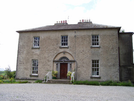 Golden Rectoryrectory/glebe/vicarage/curate's house · 384 yd
 RathcloheenEnclosure · 712 yd
 Bawn in CastleparkBawn · 938 yd
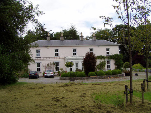 Athassel Housecountry house · 976 yd
 CroonacrushaCross · 1207 yd
 Castle in ruinsCastle, tower house · 1359 yd
 Athassel PrioryHeritage attraction · 1.4 mi
 European ashEuropean ash · 4.2 mi
 Dundrum Woods (Marl Bog)Forest · 4.7 mi
 The Maid of ErinMemorial · 7.0 mi
 SturrakeenMountain / peak · 7.6 mi
 The RockViewpoint · 7.7 mi