What is recorded here
Shown as ruined tower on MS maps 2754 (336) (38) and 1399 (50) (52) in NLI which were made in 1778. Situated on a level landscape at the bottom of a W-facing slope, and with a small S-N stream immediately to the E. A rectangular structure (int. dims 8.05m E-W; 5m N-S) has a barrel-vault (H 4m) with wicker centering resting on the N and S walls which straddle an E-W laneway. The walls are fragmentary but at least three flat-arched embrasures are indicated, and there are beam-holes in the N and S walls below the vault. It is in a field called 'Old Mill Field' (see this web-page accessed on 13/06/2016: http://www.meathfieldnames.com/meath-fieldnames-fullscreen.html) It could be the Corn Mill attached to Loughcrew in the Civil Survey (16554-6) that was the property of John Plunkett in 1640 (Simington 1940, 264). Archaeological testing (03E1051) by R. Meenan on the site of a single house (c. 0.5 ha.) c. 80m to the SE at the closest point (ITM 655915, 775095) identified no related material (excavations.ie 2003:1419).
The above description is derived from the published 'Archaeological Inventory of County Meath' (Dublin: Stationery Office, 1987). In certain instances the entries have been revised and updated in the light of recent research.
Compiled by: Michael Moore
Date of revisions: 13 June 2016, 03 November 2025
The monument record does not grant public access. Check the route and ask the landowner before entering private land.
- What survives
- Recorded monument
Places near here
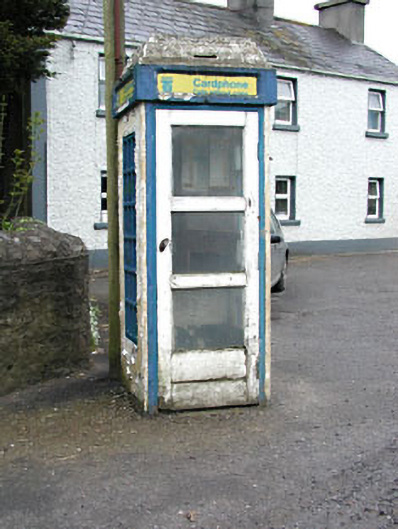 telephone boxtelephone box · 378 yd
 Fairy fort / earthen ringfort in LoughcrewFairy fort / earthen ringfort · 599 yd
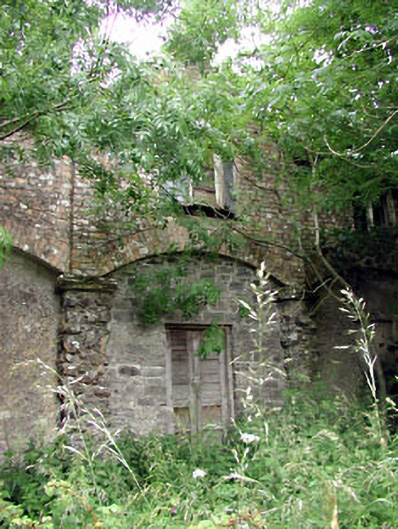 Loughcrew Housegate lodge · 608 yd
 Zip WireHeritage attraction · 1388 yd
 MoatCastle, motte · 1397 yd
 European YewEuropean Yew · 1439 yd
 Green CastleCastle, unclassified · 1444 yd
 Common LimeCommon Lime · 1488 yd
 Cross in MoylaghCross · 1622 yd
 Slieve GullionMountain / peak · 1.6 mi
 C11Named rock · 1.6 mi
 Carnbane WestMountain / peak · 1.6 mi