What is recorded here
Situated at the summit of a broad N-S ridge. This is an oval grass-covered area (dims c. 35m NE-SW; c. 26m NW-SE) defined by a scarp (at WSW: Wth 5.5m; H 2m) that melds into the slope around to the E. There is no visible bank or fosse and the entrance may be the fold in the lip of the scarp at ESE. The perimeter is s lightly truncated by a NW-SE road bank at N and by a NE-SW field bank at SE. There is an old grass-covered quarry outside the perimeter at NW.
The above description is derived from the published 'Archaeological Inventory of County Meath' (Dublin: Stationery Office, 1987). In certain instances the entries have been revised and updated in the light of recent research.
Compiled by: Michael Moore
Date of revision: 9 January 2019
The monument record does not grant public access. Check the route and ask the landowner before entering private land.
- What survives
- Recorded monument
Places near here
 Fairy fort / earthen ringfort in LoughcrewFairy fort / earthen ringfort · 827 yd
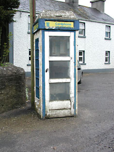 telephone boxtelephone box · 836 yd
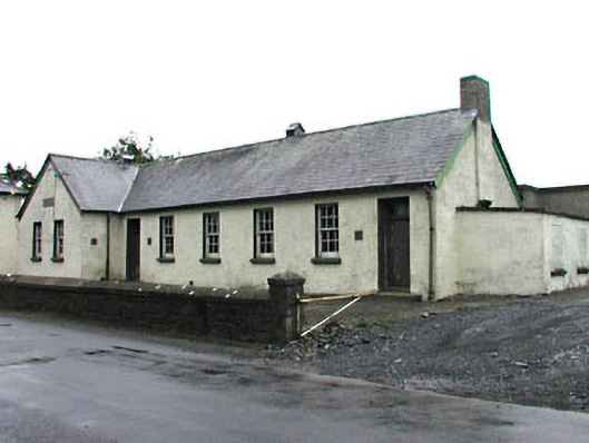 Gortloney National Schoolschool · 1269 yd
 Green CastleCastle, unclassified · 1271 yd
 Enclosure in LoughcrewEnclosure · 1557 yd
 Zip WireHeritage attraction · 1756 yd
 Slieve GullionMountain / peak · 1.0 mi
 European YewEuropean Yew · 1.0 mi
 Common LimeCommon Lime · 1.1 mi
 MoatCastle, motte · 1.1 mi
 LoughcrewMegalithic tomb cemetery · 1.7 mi
 Carnbane WestMountain / peak · 1.7 mi