
What is recorded here
In improved level pasture. No visible surface trace. Identified by aerial photography (CUCAP BGO; 19 July 1971) as a possible enclosure. Indicated on the 1st (1840) 6-inch OS map as a small tree plantation, possibly a designed landscape feature (dims. c. 100m NE-SW; c. 55m NW-SE). On the 25-inch OS map the SW portion is depicted as a roughly circular stand of trees, with a small pond in the northern area of the 1840s plantation. Barrow, possible is c. 100m to ENE.
Compiled by: Jean Farrelly
Date of revised upload: 20 November 2015
The monument record does not grant public access. Check the route and ask the landowner before entering private land.
- What survives
- Recorded monument
Places near here
 Meldrum Castle (ruins)Castle · 272 yd
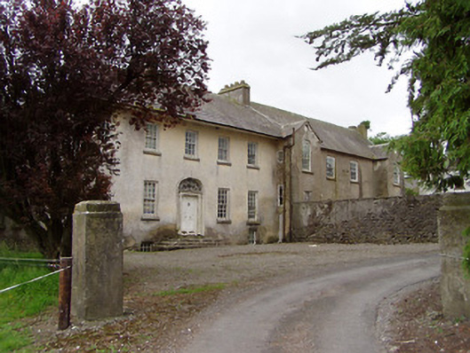 Meldrum Housecountry house · 506 yd
 Enclosure in Rathclogh SouthEnclosure · 743 yd
 Enclosure in MeldrumEnclosure · 852 yd
 Brickendown Church (in ruins)Church · 1207 yd
 The GarrisonCastle, tower house · 1.1 mi
 Ballyknock HillMountain / peak · 1.9 mi
 Cashel Folk MusuemMuseum · 2.7 mi
 The Rock Of CashelVisitor information · 2.8 mi
 Cormac's ChapelHeritage attraction · 2.8 mi
 Black mulberryBlack mulberry · 2.8 mi
 Gobban Saer's GraveArchaeological place · 6.2 mi
Other information
Photo: Credit not shown in the picture search · Rights wording not checked; contact us if this picture should be removed