What is recorded here
In pasture, on break in N-facing slope. Partially overgrown, subcircular area enclosed by scarp (H 1.4m) NNW->S; earthen bank (H 1.2m) S->NNW, stone faced in parts. Gaps (Wth 3m) to NNE and NW. Rectangular raised area (19m NE-SW; 14m NW-SE) enclosed by low wall, in SE quadrant; burial ground (CO132-047002-) in NE quadrant.
From the National Monuments Service (Archaeological Survey of Ireland) record CO132-047001
The monument record does not grant public access. Check the route and ask the landowner before entering private land.
- What survives
- Recorded monument
Places near here
Photo credits
- National Inventory of Architectural Heritage
- JessicaOSullivan1990, Wikimedia Commons · CC BY-SA 4.0
- Superbass, Wikimedia Commons · CC BY-SA 4.0
- Vadim Manuylov, Wikimedia Commons · CC BY-SA 3.0
- Mick Garratt, Geograph · CC BY-SA 2.0
- Mike Searle, Geograph · CC BY-SA 2.0
- Mac McCarron, Geograph · CC BY-SA 2.0
- Martin Southwood, Geograph · CC BY-SA 2.0
- Mike Searle, Wikimedia Commons · CC BY-SA 2.0
- nick macneill, Geograph · CC BY-SA 2.0
- Theorlafitz, Wikimedia Commons · CC BY-SA 4.0
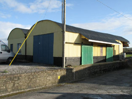 railway station1523 yd
 Derreeney HouseCountry house · 1.0 mi
 Skeagh CairnArchaeological place · 2.8 mi
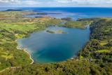 Lough HyneVisitor information · 4.8 mi
 Monterey Cypress4.9 mi
 KnockomaghMountain / peak · 6.6 mi
 Kilcoe CastleCastle · 6.8 mi
 Drishane IslandIslet · 7.1 mi
 Bullock IslandIslet · 7.5 mi
_-_geograph.org.uk_-_3716613.jpg/250px-Castles_of_Munster,_Rincolisky,_Cork_(1)_-_geograph.org.uk_-_3716613.jpg "Photo: Mike Searle, Wikimedia Commons · CC BY-SA 2.0") Rincolisky CastleCastle · 7.9 mi
Rincolisky CastleCastle · 7.9 mi The BeaconBeacon · 9.8 mi
 Beacon PointViewpoint · 9.8 mi
More archaeology and monuments in County Cork · All of County Cork
What do you know about this place?