What is recorded here
On a gentle SE-facing slope in pasture. A circular enclosure (diam. c. 30m) indicated on both eds. of the OS 6-inch map. Given that the possible mound c. 500m WNW was reused as a tree-ring, this may also have been a landscape feature. Not visible at ground level.
From the National Monuments Service (Archaeological Survey of Ireland) record WI021-044
The monument record does not grant public access. Check the route and ask the landowner before entering private land.
- What survives
- Recorded monument
Places near here
Photo credits
- National Inventory of Architectural Heritage
- Sarah777, Geograph · CC BY-SA 2.0
- Maker named on the Wikimedia Commons picture page · Public domain
- Willow, Wikimedia Commons · CC BY 2.5
- Wanfried-Dublin, Wikimedia Commons · CC BY-SA 4.0
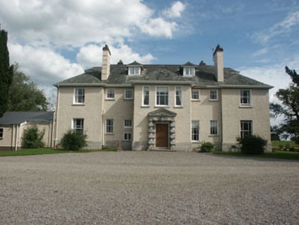 SaundersgroveCountry house · 651 ydFont in GoldenfortFont · 685 yd
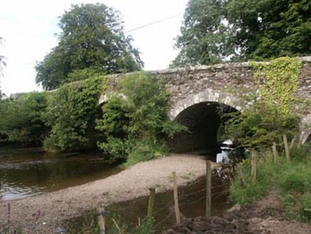 Tuckmill BridgeBridge · 1143 ydBallyhook HillMountain / peak · 1.5 mi
 Tinoran HillMountain / peak · 1.7 miCastleCastle, tower house · 2.3 miBawn in Ballintruer BegBawn · 2.3 mi
 English holly3.4 miSaint Brigit's Mass StoneNamed rock · 3.4 miSaint Brigit's ChairNamed rock · 3.5 mi
 European ash4.1 mi
 Portal tomb in BroomfieldsPortal tomb · 4.8 mi
More archaeology and monuments in County Wicklow · All of County Wicklow
What do you know about this place?