What is recorded here
Situated on a level landscape with a small W-E valley c. 100m to the N. The parish church of Macetown (ME032-044----) is within a neglected and overgrown graveyard (dims c. 40m NE-SW; c. 32m NW-SE at NE to c. 40m NW-SE at SW) defined by masonry walls. According to Dopping's visitation (1682-5) the graveyard was fenced at that time (Ellison 1971, 37). One piece of a window surround (H 0.5m) with two hollow chamfers was re-used as a grave-marker, but the mantel of a fireplace (ME032-044002-) which was in the graveyard is no longer present.
Compiled by: Michael Moore
Date of upload: 15 April, 2015
The monument record does not grant public access. Check the route and ask the landowner before entering private land.
- What survives
- Recorded monument
Places near here
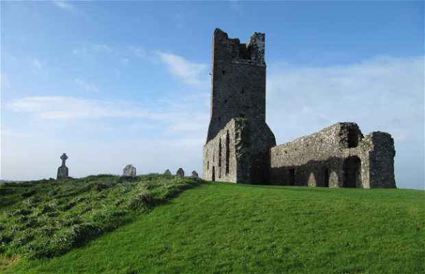 Church (in Ruins)Church · 5 yd
 Macetown CastleCastle, tower house · 74 yd
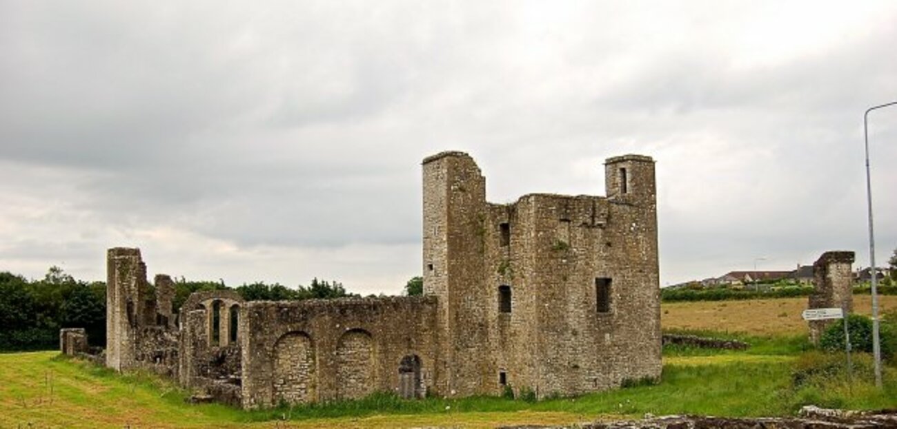 Enclosure in Painestown (skreen By.)Enclosure · 1465 yd
 RuinChurch · 1.1 mi
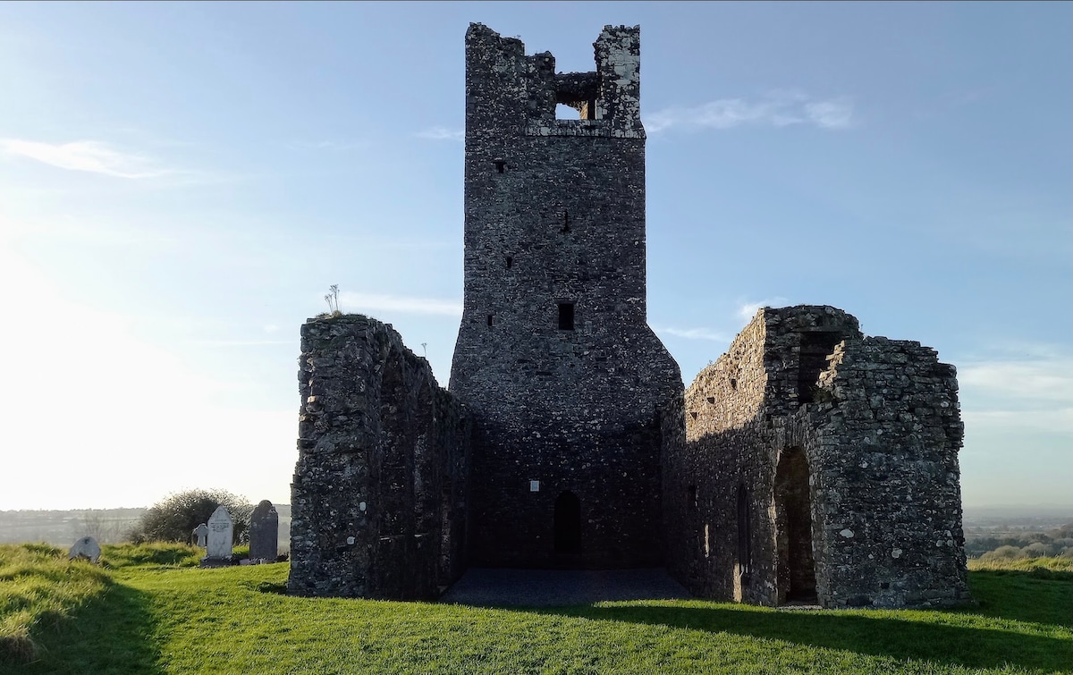 CastleCastle, motte · 1.1 mi
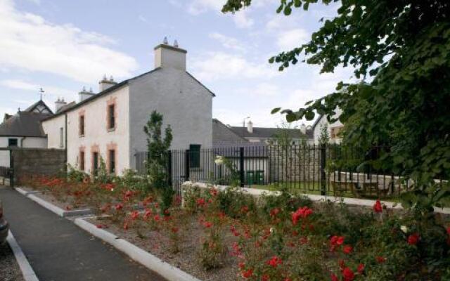 Enclosure in RathfeighEnclosure · 1.3 mi
 Candle HillMountain / peak · 2.2 mi
 Lemur WoodWood · 2.5 mi
 Emerald ParkHeritage attraction · 2.5 mi
 PuddenhillHeritage attraction · 2.8 mi
 Newtown HillMountain / peak · 3.2 mi
 European ashEuropean ash · 3.3 mi