
Places near here
Photo credits
- National Inventory of Architectural Heritage
- Enda O Flaherty, Wikimedia Commons · CC BY-SA 2.0
- Walking with a phone, Wikimedia Commons · CC BY-SA 4.0
- Wanfried-Dublin, Wikimedia Commons · CC BY 4.0
- This file is from the Mechanical Curator collection , a set of over 1 million images scanned from out-of-copyright books and released to Flickr Commons by the British Library. View image on Flickr View all images from book View catalogue entry for book ., Wikimedia Commons · Public domain
- D Gore, Geograph · CC BY-SA 2.0
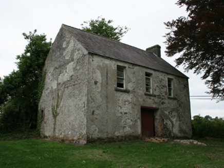 Cahans' Presbyterian ChurchHall · 632 yd
Explorer Tom Cahans' Presbyterian Church in Lisnaveane is playing hide-and-seek with me. If it were a person at a wedding, it would be the one standing by the cake looking slightly annoyed about the seating plan. Bring your best cheeky grin for the camera.
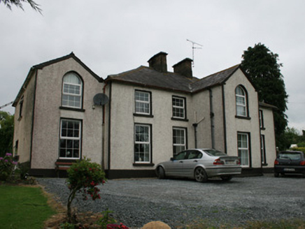 Lisnavane HouseHouse · 845 yd
Explorer Tom Lisnavane House in Lisnaveane keeps getting picked on by the wind because its gables stick out too much. It thinks it's classy, but really it just looks like it’s mid-yawn. Ten minutes here and you'll wonder why anyone needs a farmyard.
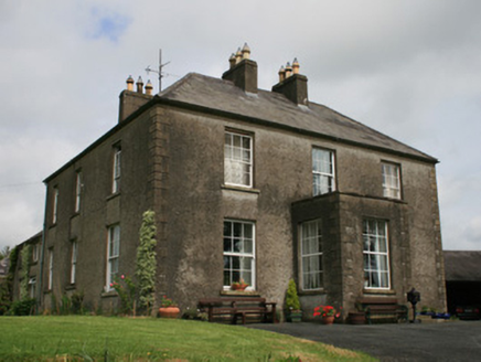 Clover HillHouse · 1087 yd
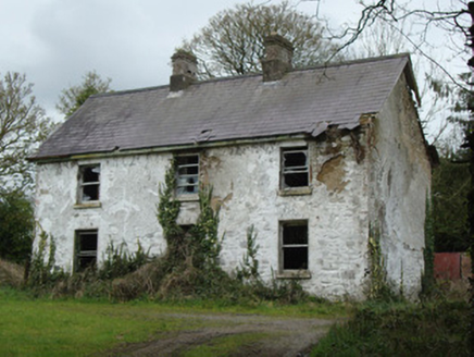 school master's house1418 yd
Explorer Tom School master's house in Urcher has an imaginary twin across the sea that sends it rude postcards every Christmas. It’s probably just jealous of the local fish supply. Give it a pat on the wall and move on!
 Giants GreveWedge tomb · 2.6 mi
Explorer Tom "Giants Greve is hiding a scandal about a stone that wasn’t invited to the party. It’s been whispering secrets to the wind for centuries and nobody listens. Snap one photo, then put the phone away and actually look."
Ballybay Wetland CentreNature reserve · 3.4 mi Rossmore MausoleumHeritage attraction · 4.1 miGiant Redwood (1862)Heritage attraction · 4.2 miLisnaspeenanMountain / peak · 4.3 mi
 Portal tomb in LennanPortal tomb · 4.9 mi
Explorer Tom Portal tomb in Lennan is perched on a drumlin ridge, looking slightly tipsy from the wind. If it could order at a chipper, it’d just want a stone and some silence. Stand on the spot and imagine the gossip it's heard.
 Dartrey ForestForest · 5.5 mi
 Flagpole HillMountain / peak · 6.0 mi
More archaeology and monuments in County Monaghan · All of County Monaghan

What do you know about this place?Tap to add a comment or ask a question