What is recorded here
Indicated is a vanished Kerry rath, erased by reclamation but still drawing a twenty-metre circle in the soil above the Glashievhee stream. It may have been a dwelling, a boundary marker or a child’s invented fortress, yet the land still holds the shape of that forgotten claim.
In level pasture, on an elevated position to the N of the Glashievhee stream. This possible rath is not visible at ground level. According to local information, it was levelled during land reclamation and was known as 'the Lios'. It is visible in an aerial photograph (GSIAP, V 290) as a circular enclosure (diam. c. 20m) open along the N arc, skirted by a field boundary to the ENE and incorporated into a field boundary along its S arc.
The above description is derived from the published 'Archaeological Inventory of County Kerry. Volume I: South-West Kerry' (Dublin: Stationery Office, 2009). In certain instances the entries have been revised and updated in the light of recent research.
Date of upload: 30 May 2011
The monument record does not grant public access. Check the route and ask the landowner before entering private land.
- What survives
- Recorded monument
Places near here
 Sheep FoldEnclosure · 612 yd
 IndicatedFairy fort / earthen ringfort · 796 yd
 Battle of Callannbattle · 1233 yd
 Kilgarvan Motor MuseumMuseum · 1505 yd
 KnockbrackMountain / peak · 1.2 mi
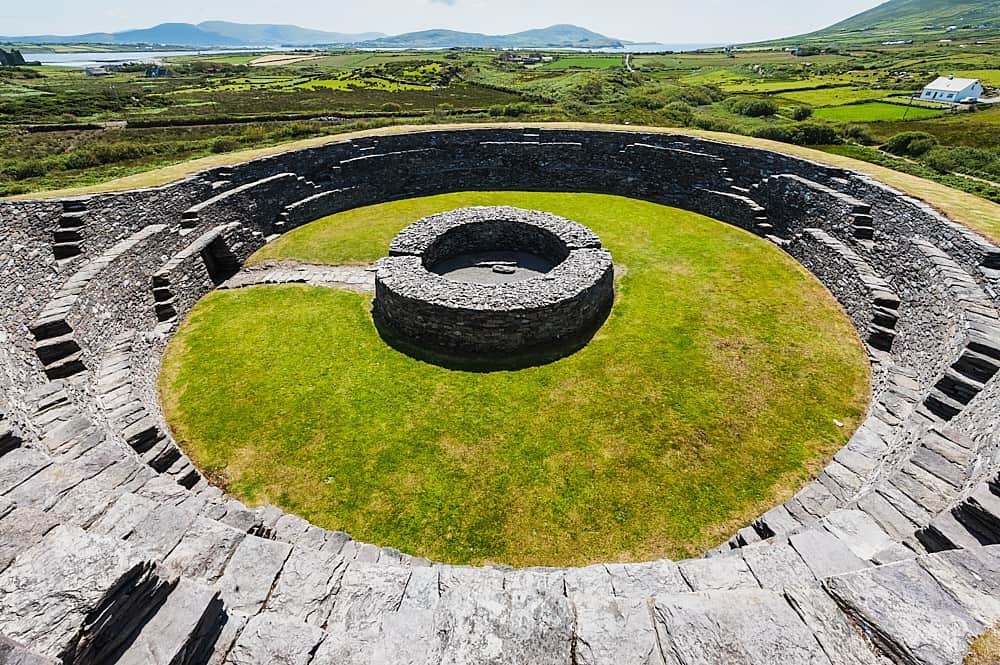 Cahergal Br.Bridge · 1.2 mi
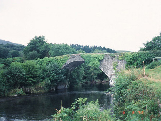 Ardtully Old Bridgebridge · 1.3 mi
 Castle (Site of)Castle, unclassified · 1.4 mi
 European YewEuropean Yew · 1.4 mi
 Great Southern & Western RailwayMemorial · 1.4 mi
 Bird HillMountain / peak · 1.8 mi
 Shanagarry Castle (Site of)Castle, unclassified · 3.5 mi