What is recorded here
Marked as an oval wood on the 1837 ed. of the OS 6-inch map and situated on a N-facing slope c. 50m from the SW shore of Lough Glinn. Grass-covered oval area (dims 47m E-W; 30m N-S) defined by a fosse (Wth of top 3.5-3.9m; int. D 0.3-0.7m; ext. D 0.4-0.7m) which has been quarried at E. There is no visible entrance. It may have been a tree-ring or decorative copse associated with Lough Glinn House on the opposite side of the lake.
Compiled by: Michael Moore
Date of upload: 24 August 2010
The monument record does not grant public access. Check the route and ask the landowner before entering private land.
- What survives
- Recorded monument
Places near here
 Catholic Church of Our Lady of Good Counselchurch/chapel · 306 yd
 St Bridgets WellHoly well · 372 yd
 TowerCastle, tower house · 406 yd
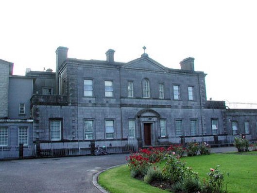 Loughglinn Housecountry house · 809 yd
 LisheenFairy fort / earthen ringfort · 1226 yd
 Druminagh WoodForest · 1.7 mi
 Fairymount HillMountain / peak · 3.3 mi
 Clonalis HouseMuseum · 3.7 mi
 CastleCastle, unclassified · 4.1 mi
 Workhouse MemorialMemorial · 5.5 mi
 Silver IslandIslet · 5.8 mi
 Square WoodForest · 7.6 mi