
What is recorded here
Marked only on the 1914 ed. of the OS 6inch map where it is described as 'St Bridget's Well' I italic lettering, and situated on low-lying ground on the SW shore of Lough Glynn. Described as a holy well (OS Name Books), no feature is visible at ground level in woodland.
Compiled by: Michael Moore
Date of upload: 24 August 2010
Linked to St Brigid of Kildare, the well is associated with traditional healing practices and is often visited on her feast day, 1 February. Local folklore attributes cures for ailments such as fever and infertility to the well’s waters, which were historically believed to possess purifying and restorative powers.
The monument record does not grant public access. Check the route and ask the landowner before entering private land.
- What survives
- Recorded monument
Places near here
 Catholic Church of Our Lady of Good Counselchurch/chapel · 399 yd
 TowerCastle, tower house · 774 yd
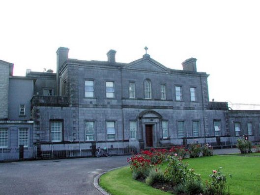 Loughglinn Housecountry house · 797 yd
 LisheenFairy fort / earthen ringfort · 1413 yd
 IndicatedFairy fort / earthen ringfort · 1465 yd
 Druminagh WoodForest · 1.6 mi
 Fairymount HillMountain / peak · 3.2 mi
 Clonalis HouseMuseum · 3.5 mi
 CastleCastle, unclassified · 4.2 mi
 Coolougher WoodForest · 4.9 mi
 Workhouse MemorialMemorial · 5.3 mi
 Silver IslandIslet · 5.6 mi
Other information
Photo: Credit not shown in the picture search · Rights wording not checked; contact us if this picture should be removed