What is recorded here
On the W shore of Lough Glinn. Traditionally regarded as a castle of the FitzGeralds of Mayo (Grosse, 1791, vol. 2, 53-4; Weld 1832, 300-1; Lewis 1837, 2, 599), an extensive estate centred on Loughglinn was accumulated by Theobald Dillon, a descendent of the Sir James Dillon of Proudstown, Co. Meath, and connected with the Dillon families of Westmeath. In 1582 he entered government service in Connaught and used his position to accumulate land. Theobald died in 1624 when his second son, Sir Lucas Dillon, inherited the Loughglinn estate and held extensive lands by c. 1635 (Mac Dermot 1996, 397-8) when the castle, which may have been built by the Dillons, was owned by him (Simington 1949, 158). Described as a castle with a tower at each angle, only two were left in the 18th century, and only one survives to-day. The W part of an ivy-covered three-storey circular tower (int. diam. 3m; H c. 10m; T 1m) with three gun-loops at the ground floor and simple rectangular windows on the upper floors which are rectangular in plan internally. Stones from the castle, including an inscribed plaque (RO020-007003-), are said to have been used to build Loughglinn House, c. 1km to the E.
On the W shore of Lough Glinn. Traditionally regarded as a castle of the FitzGeralds of Mayo (Grosse, 1791, vol. 2, 53-4; Weld 1832, 300-1; Lewis 1837, 2, 599), an extensive estate centred on Loughglinn was accumulated by Theobald Dillon, a descendent of the Sir James Dillon of Proudstown, Co. Meath, and connected with the Dillon families of Westmeath. In 1582 he entered government service in Connaught and used…
From the National Monuments Service (Archaeological Survey of Ireland) record RO020-003001
The monument record does not grant public access. Check the route and ask the landowner before entering private land.
- What survives
- Recorded monument
Places near here
 Catholic Church of Our Lady of Good CounselChurch/chapel · 619 yd
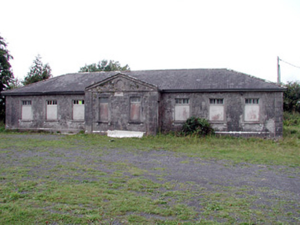 Loughglinn SchoolSchool · 643 ydSt Bridgets WellHoly well · 774 ydDruminagh WoodForest · 1.8 miFairymount HillMountain / peak · 3.3 mi
 Clonalis HouseMuseum · 3.9 miWorkhouse MemorialMemorial · 5.8 mi
 CashelFairy fort / stone ringfort · 6.0 miSilver IslandIslet · 6.1 miBockagh HillMountain / peak · 7.6 mi
.jpg/250px-Castles_of_Connacht-_Ballintober,_Roscommon_(geograph_1954203).jpg "Photo: Mike Searle, Wikimedia Commons · CC BY-SA 2.0") CastleCastle, Anglo-Norman masonry castle · 9.6 mi
CastleCastle, Anglo-Norman masonry castle · 9.6 mi IndicatedHouse, fortified house · 10 mi
Pictures: David Purchase, Geograph · CC BY-SA 2.0; National Inventory of Architectural Heritage; Jscaguiat, Wikimedia Commons · CC BY-SA 4.0; Duncan Grant, Wikimedia Commons · CC BY-SA 2.0; Mike Searle, Wikimedia Commons · CC BY-SA 2.0; Mike Searle, Geograph · CC BY-SA 2.0
More castles and forts in County Roscommon · All of County Roscommon
What do you know about this place?