
What is recorded here
Castle is a phantom castle. It appears only on a Longfield estate map of 1811, set on the east bank where the River Lung bends north. No stone, ditch or local memory survives to prove it. A farmhouse occupies the point now, ordinary and unremarkable, while the castle remains absent even from the place that should have kept it.
Marked as a castle on a Longfield estate map of 1811 in the NLI (ms. 21. F. 44. (41)), and situated on the E bank of the W-E River Lung at a point where it turns N. There is no visible remains of an antiquity and no local knowledge of one. The location is occupied by a farmhouse.
Compiled by: Michael Moore
Date of upload: 24 August 2010
The monument record does not grant public access. Check the route and ask the landowner before entering private land.
- What survives
- Recorded monument
Places near here
 Embanked enclosureFairy fort / earthen ringfort · 677 yd
 IndicatedFairy fort / earthen ringfort · 712 yd
 Church (in Ruins)Church · 1.2 mi
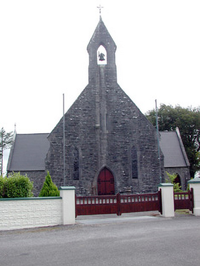 Saint Baoithín's Catholic Churchchurch/chapel · 1.2 mi
 Casatle (ruins)Castle, unclassified · 3.1 mi
 Fairymount HillMountain / peak · 3.3 mi
 Crunaun Castle (in ruins)Castle, unclassified · 3.3 mi
 Druminagh WoodForest · 3.5 mi
 Bawn IslandIslet · 4.2 mi
 Bockagh HillMountain / peak · 4.8 mi
 Rose PointHeadland · 5.3 mi
 Castle PointHeadland · 5.8 mi
Other information
Photo: Credit not shown in the picture search · Rights wording not checked; contact us if this picture should be removed