What is recorded here
Marked only on the 1914 ed. of the OS 6-inch map as an arc of a bank SW-NE (C c. 35m) and described in gothic lettering as 'Lisheen' - the little lios. It is situated on a slight N-facing slope in a deciduous wood. An arc of an earthen bank (Wth 2m; int. H 0.5m; ext. H 0.6m) survives W-N.
From the National Monuments Service (Archaeological Survey of Ireland) record RO014-057
The monument record does not grant public access. Check the route and ask the landowner before entering private land.
- What survives
- Recorded monument
Places near here
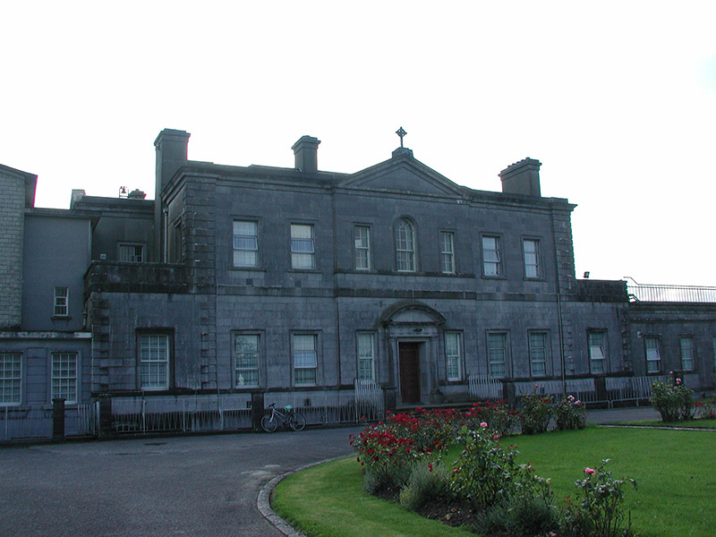 Loughglinn HouseCountry house · 771 ydTowerCastle, tower house · 1053 yd
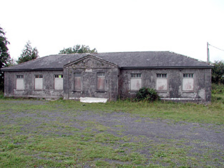 Loughglinn SchoolSchool · 1146 ydSt Bridgets WellHoly well · 1413 ydDruminagh WoodForest · 1.5 miFairymount HillMountain / peak · 2.9 mi
 Clonalis HouseMuseum · 4.2 miCoolougher WoodForest · 5.7 miWorkhouse MemorialMemorial · 5.9 mi
 CashelFairy fort / stone ringfort · 6.0 miSilver IslandIslet · 6.2 mi
.jpg/250px-Castles_of_Connacht-_Ballintober,_Roscommon_(geograph_1954203).jpg "Photo: Mike Searle, Wikimedia Commons · CC BY-SA 2.0") CastleCastle, Anglo-Norman masonry castle · 9.7 mi
CastleCastle, Anglo-Norman masonry castle · 9.7 miPictures: National Inventory of Architectural Heritage; Jscaguiat, Wikimedia Commons · CC BY-SA 4.0; Duncan Grant, Wikimedia Commons · CC BY-SA 2.0; Mike Searle, Wikimedia Commons · CC BY-SA 2.0
More archaeology and monuments in County Roscommon · All of County Roscommon
What do you know about this place?