
What is recorded here
From the National Monuments Service (Archaeological Survey of Ireland) record LE012-008001
Places near here
Photo credits
- Maker not stated on source page, monumentalireland.ie
- National Inventory of Architectural Heritage
- Maker not stated on source page, visionsofthepastblog.com
- Maker not stated on source page, www.alamy.com
- Maker not stated on source page, storage.googleapis.com
- Maker not stated on source page, www.pinterest.com
- Maker not stated on source page, commons.wikimedia.org
- Maker not stated on source page, www.reddit.com
- Kenneth Allen, Geograph · CC BY-SA 2.0
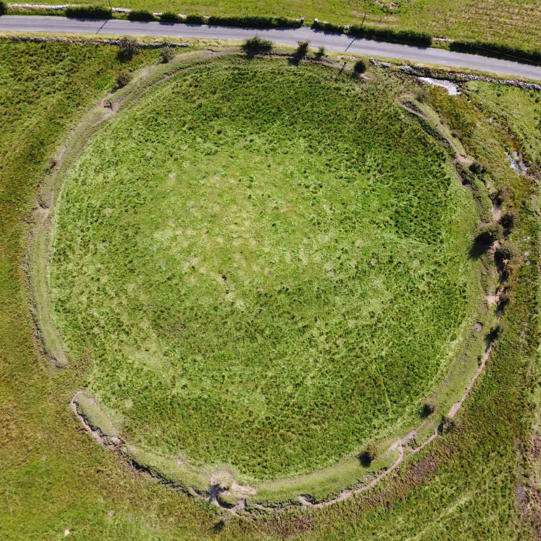 Fairy fort / ringfort in LoughaphontaFairy fort / ringfort · 404 yd
Explorer Tom Loughaphonta is absolutely sick of being asked if it’s haunted, especially since nothing is visible at ground level…
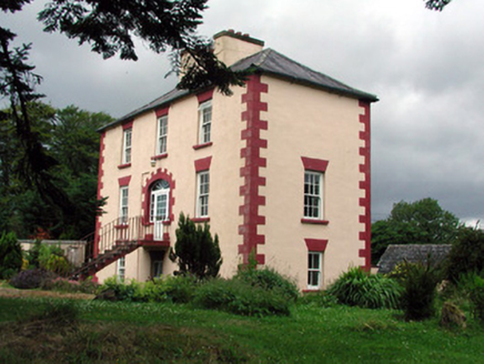 Fortland HouseCountry house · 592 yd
Explorer Tom Fortland House in Lissinagroagh was once ruled by a goat who ate the roof tiles and called them snacks. The symmetrical…
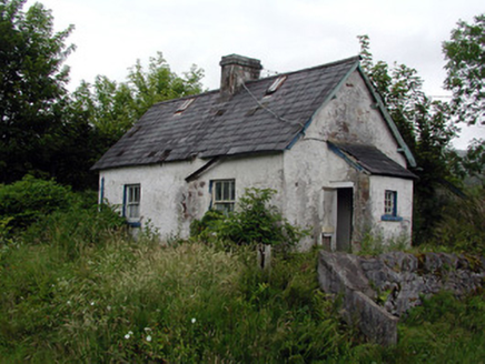 worker's house720 yd
Explorer Tom Lissinagroagh worker’s house nearly got famous for being right next to a level crossing. It kept its original features…
 Court tomb in CarrigeengeareCourt tomb · 908 yd
Explorer Tom This Court tomb in Carrigeengeare was once ruled by a goat who ate all the important stones. The chamber is barely…
 Fairy fort / earthen ringfort in AghlaconFairy fort / earthen ringfort · 1146 yd
Explorer Tom Fairy fort / earthen ringfort in Aghlacon is sitting on a hill near the Scardan River, probably waiting for someone to…
 Fairy fort / stone ringfort in TawnylustFairy fort / stone ringfort · 1210 yd
Explorer Tom Fairy fort / stone ringfort in Tawnylust is teaching history through its broken walls and missing pieces. It’s…
 Holy well in LughawnaghHoly well · 1289 yd
Explorer Tom Lughawnagh’s holy well was named by a guy in the 1830s and forgotten ever since. Some local swears he invented it…
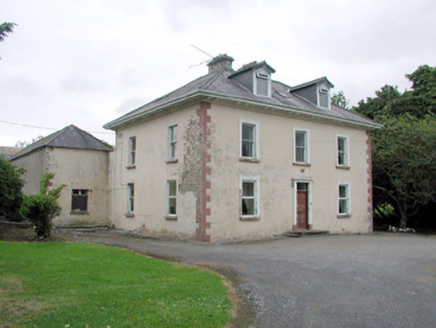 Brookfield HouseFarm house · 1.1 mi
Explorer Tom Brookfield House in Cherrybrook has a curse that only hits people who don’t wave at its stone surrounds. The former…
 Fairy fort / stone ringfort in MoneenshinnaghFairy fort / stone ringfort · 1.2 mi
Explorer Tom Fairy fort / stone ringfort in Moneenshinnagh would tell its younger self to stop trying so hard, mate. It’s got a…
 Fairy fort / earthen ringfort in CashelaveelaFairy fort / earthen ringfort · 1.2 mi
Explorer Tom This fort in Cashelaveela thinks modern buildings are tacky because they don't have proper earthen banks or a good…
 Mapped graveyardGraveyard · 1.4 mi
Explorer Tom Mapped graveyard in County Leitrim is playing hard to get because it nearly made the news for being invisible. Some…
 Dough MountainMountain / peak · 2.0 mi
Explorer Tom Dough Mountain is listening to every whisper from its neighbours, which explains why it looks so perpetually smug about…
More archaeology and monuments in County Leitrim · All of County Leitrim

What do you know about this place?Tap to add a comment or ask a question