
What is recorded here
Situated on a NW-facing slope in undulating pasture. A circular area (diam. 33m) enclosed by a drystone, limestone wall (Wth 1.75m; int. H 1.06m; ext. H 1.4m) composed of roughly coursed boulders, stones and rubble fill. The interior slopes to the NW and has an uneven surface. A modern house is built adjacent to the WNW and an entrance ramp at N, recently surfaced with gravel, has been augmented or constructed to provide access to the site. Domestic refuse is dumped on the site and storage tanks occupy the interior. The external W face of the monument (H 1.6m) also acts as the E boundary wall of a garden, with a flower bed along the base.
The above description is derived from 'The Archaeological Inventory of County Tipperary. Vol. 1 - North Tipperary' compiled by Jean Farrelly and Caimin O'Brien (Dublin: Stationery Office, 2002). In certain instances the entries have been revised and updated in the light of recent research.
Date of upload/revision: 22 September 2008
The monument record does not grant public access. Check the route and ask the landowner before entering private land.
- What survives
- Recorded monument
Places near here
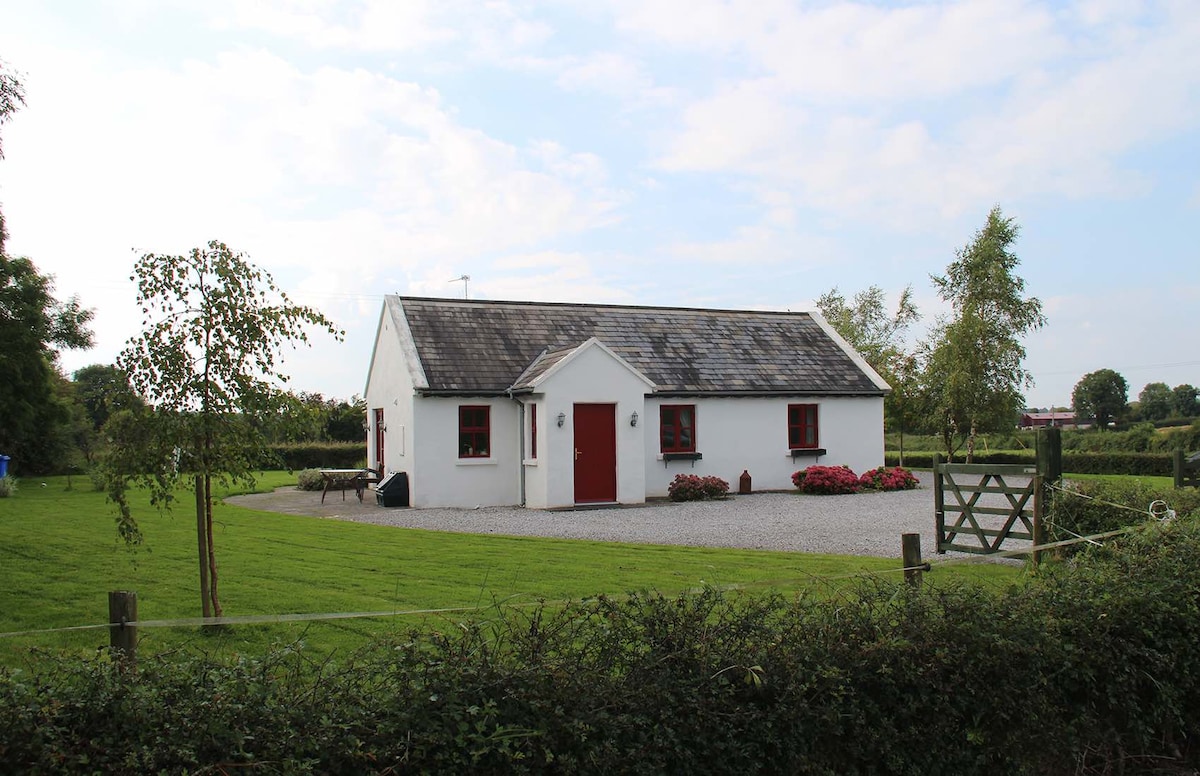 Enclosure in Lodge (killodiernan Par.)Enclosure · 189 yd
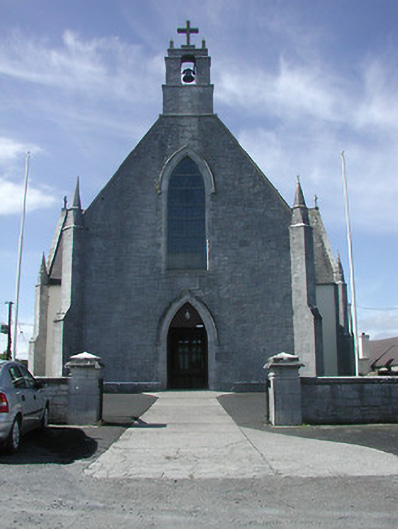 Saint Patrick's Catholic Churchchurch/chapel · 419 yd
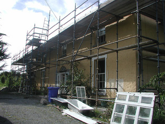 Rockvalley Househouse · 499 yd
 Enclosure in KillardEnclosure · 908 yd
 Knigh HillMountain / peak · 1588 yd
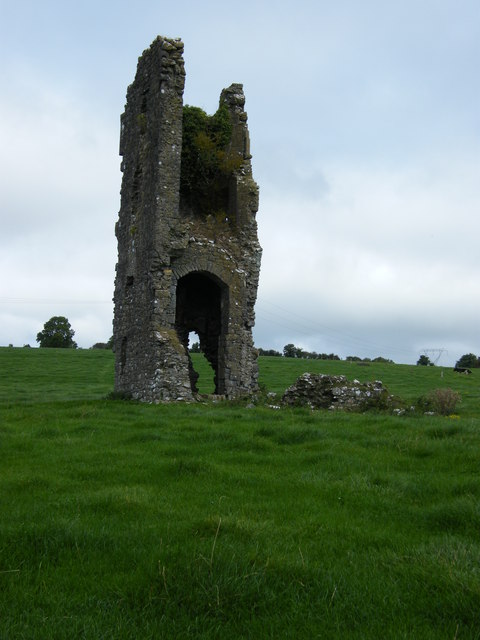 Knigh CastleCastle · 1.6 mi
 Knigh Castle (in ruins)Castle, tower house · 1.6 mi
 Goose IslandIslet · 1.8 mi
 Dromineer BayBay · 2.2 mi
 Carrickboy WoodForest · 2.3 mi
 Connaught BayBay · 2.7 mi
 Buggane IslandIslet · 2.7 mi
Other information
Photo: Credit not shown in the picture search · Rights wording not checked; contact us if this picture should be removed