What is recorded here
Depicted as a circular ring of trees but described as a 'fort' on the 1835 ed. of the OS 6-inch map, it is located on a slight rise on a W-facing slope. c. 120m SW of house described on the 1910 ed. of the 6-inch map as Lisnagroth Lodge. This is a circular area (int. diam. 16m) planted with mature deciduous trees, defined by an earth and stone bank (Wth 2.5m; int. H 0.3m; ext. H 0.9m), which is separated by a fosse (Wth 2.2m; D 0.25m) from an outer bank (Wth 2m; ext. H 1.1m) and slight outer fosse (Wth 1m; D 0.2m). It is probably a tree-ring.
The above description is derived from 'The Archaeological Inventory of County Leitrim' compiled by Michael J. Moore (Dublin: Stationery Office, 2003). In certain instances the entries have been revised and updated in the light of recent research.
Date of upload: 23 September 2008
The monument record does not grant public access. Check the route and ask the landowner before entering private land.
- What survives
- Recorded monument
Places near here
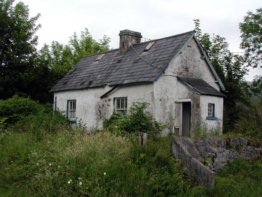 worker's houseworker's house · 207 yd
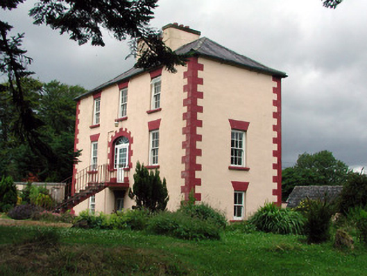 Fortland Housecountry house · 209 yd
 LisnagroaghFairy fort / earthen ringfort · 706 yd
 Ecclesiastical enclosure in KilmakerrillEcclesiastical enclosure · 1705 yd
 Dough MountainMountain / peak · 1.9 mi
 The Giants GraveArchaeological place · 2.6 mi
 Ballaghnabehy TopMountain / peak · 3.0 mi
 Giants RockNamed rock · 3.3 mi
 Kilroosk RockNamed rock · 3.5 mi
 Ashisland WoodForest · 4.6 mi
 Longhill WoodForest · 4.9 mi
 Fowley's FallsPicnic place · 5.3 mi