What is recorded here
Indicated is a D-shaped burial ground in County Cork, Ireland, where a field fence once enclosed the dead before the Cork-Dublin railway cut through the site. The train still carries people past the remaining northern and eastern arc, dividing what the fence once kept whole. Locals still call the northeast section a burial ground, preserving the shape and purpose the railway interrupted.
Shown on 1842 OS 6-inch map as D-shaped area (c. 60m N-S; c. 50m E-W) defined by field fence N->S; open on straight side (W). Cork-Dublin railway line now cuts through site on NW-SE axis leaving arc of fence to N and E. Section remaining on NE side of railway line known locally as burial ground.
The above description is derived from the published 'Archaeological Inventory of County Cork. Volume 3: Mid Cork' (Dublin: Stationery Office, 1997). In certain instances the entries have been revised and updated in the light of recent research.
Date of upload/revision: 14 January 2009
The monument record does not grant public access. Check the route and ask the landowner before entering private land.
- What survives
- Recorded monument
Places near here
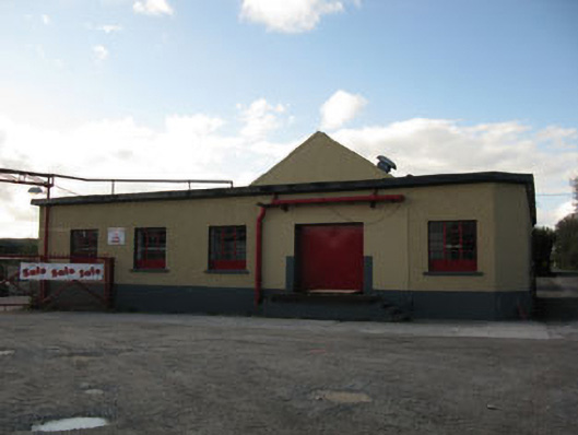 Rathduff Creamerycreamery · 1327 yd
 Castle (Site of)Castle, Anglo-Norman masonry castle · 1358 yd
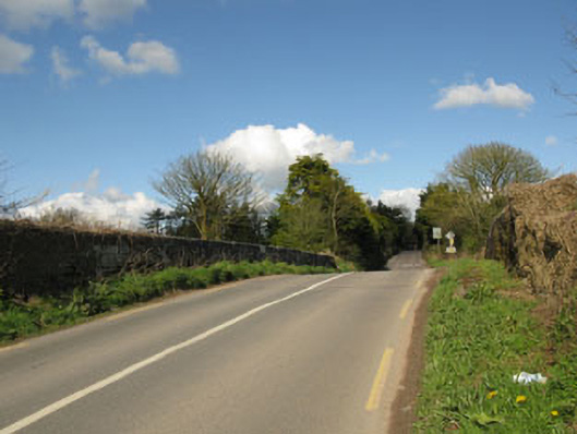 bridgebridge · 1445 yd
 EnclosureEnclosure, large enclosure · 1527 yd
 Grave YdGraveyard · 1691 yd
 Rock HillMountain / peak · 1.4 mi
 Lyradane MountainMountain / peak · 1.9 mi
 Graveyard in KilmonaGraveyard · 2.6 mi
 Pairc Ath Na hEornaMemorial · 2.7 mi
 St John's WellSpring · 2.8 mi
 Garrycloyne Castle (in Ruins)Castle, tower house · 3.9 mi
 Cork WalksVisitor information · 10 mi