What is recorded here
In reclaimed pasture atop low knoll. Circular area (21.5m N-S; 22.4m E-W) enclosed by ruinous stone bank (H 0.85m). Four contiguous slabs line bank internally at E; modern stone walling atop bank SW->NW. Interior flat though covered with field clearance stones. Known locally as a "lios".
From the National Monuments Service (Archaeological Survey of Ireland) record CO106-054
Places near here
Photo credits
- Ernest Riordan, Geograph · CC BY-SA 2.0
- Graham Horn, Geograph · CC BY-SA 2.0
- Mike Searle, Wikimedia Commons · CC BY-SA 2.0
- Jane Carver, Wikimedia Commons · CC BY-SA 2.0
- National Inventory of Architectural Heritage
- Graham Horn, Geograph · Creative Commons Attribution-ShareAlike 2.0
- Hywel Williams, Geograph · CC BY-SA 2.0
- Mike Searle, Geograph · CC BY-SA 2.0
- Draceane, Wikimedia Commons · CC BY-SA 4.0
- Maker named on the Wikimedia Commons picture page · CC BY-SA 3.0
- mozzercork @ flickr, Wikimedia Commons · CC BY 2.0
 Nowen Hill sw TopMountain / peak · 1667 yd
 Castle Donovan (in Ruins)Castle, tower house · 1.3 mi
Explorer Tom Castle Donovan in Castledonovan, County Cork is showing off its full height, despite losing a corner like it was nothing. Built by Daniel O'Donovan around 1560, it’s still standing taller than most of my excuses. Wave to the river if you can!
 Castle DonovanCastle · 1.3 mi
 Nowen HillMountain / peak · 1.5 mi
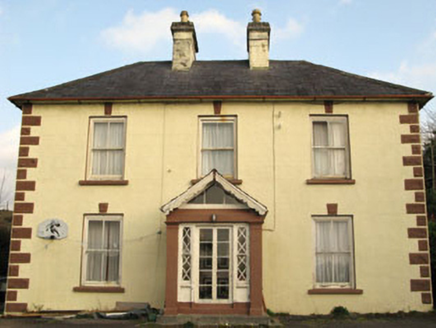 Rockmount HouseHouse · 2.7 mi
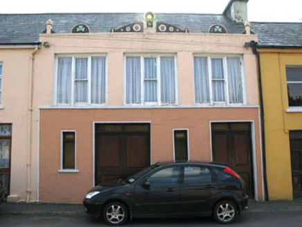 shop/retail outlet2.8 mi
 Caheragh Burial GroundGraveyard · 5.0 mi
Explorer Tom Caheragh Burial Ground was once a church that vanished by 1699. Now it’s just a walled patch in the pasture where people still bury their relatives, so don't be too nosy.
 GallaunsStone circle, five-stone · 5.7 mi
 Kealkill stone circleVisitor information · 5.7 mi
 Chilean myrtle9.4 mi
 Dawn Redwood9.5 mi
 Gougane BarraValley and heritage place · 9.8 mi
More archaeology and monuments in County Cork · All of County Cork

What do you know about this place?Tap to add a comment or ask a question