What is recorded here
Close to the centre of Lough Bannow. Marked on the 1914 ed. of the OS 6-inch map as an oval-shaped island (30m NNW–SSE; 25m ENE–WSW). When visited the lake was a swamp full of man-sized reeds and sally trees. Despite a thorough search it was not located. Another possible crannog (LF017-006----) lies c. 75m to the SSE.
From the National Monuments Service (Archaeological Survey of Ireland) record LF017-005
The monument record does not grant public access. Check the route and ask the landowner before entering private land.
- What survives
- Recorded monument
Places near here
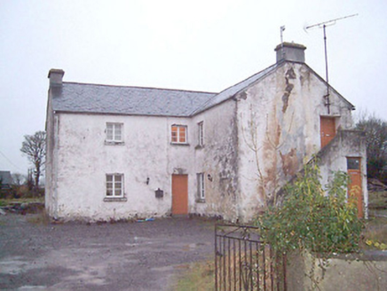 school1011 yd
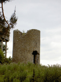 mill (wind)1.0 miBig FortFairy fort / earthen ringfort · 1.2 miCommons North WalkVisitor information · 1.4 miWild birdsVisitor information · 1.4 miIndicatedFairy fort / earthen ringfort · 1.5 miWhite Sand WoodWood · 1.6 miBallyclare IslandIslet · 1.9 mi
 Rathcline CastleHouse, fortified house · 2.0 mi
 Rathcline CastleBawn · 2.0 miGoat's IslandIslet · 3.7 mi
 Slieve BawnMountain / peak · 5.8 mi
Pictures: National Inventory of Architectural Heritage; Mike Searle, Geograph · CC BY-SA 2.0; Kieran Campbell, Geograph · CC BY-SA 2.0; Colin Park, Geograph · CC BY-SA 2.0
More archaeology and monuments in County Longford · All of County Longford
What do you know about this place?