
What is recorded here
Indicated is a hidden oval fort on a heather-covered limestone plateau in County Leitrim, marked as such on an 1835 map. A narrow stone spread emerges from the bog, enclosing forty-one metres of forgotten interior while leaving no visible entrance. The plateau slopes southeast toward ordinary sight, but the stones seem to withhold the place from everyone who does not already know where to look.
Situated on a heather-covered limestone plateau that slopes down generally to the SE. Marked on the 1835 ed. of the OS 6-inch map where it is described in gothic lettering as a ‘fort’. This is an oval area (int. dims 41m NE-SW; 23m NW-SE) defined by a stone spread (Wth 1-1.5m) emerging from the bog. An entrance is not identified.
The above description is derived from 'The Archaeological Inventory of County Leitrim' compiled by Michael J. Moore (Dublin: Stationery Office, 2003). In certain instances the entries have been revised and updated in the light of recent research.
Date of upload: 23 September 2008
The monument record does not grant public access. Check the route and ask the landowner before entering private land.
- What survives
- Recorded monument
Places near here
 Enclosure in LargyEnclosure · 726 yd
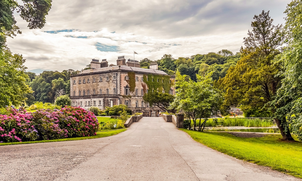 Enclosure in Aghamore (rosclogher By., Glencar Ed)Enclosure · 1487 yd
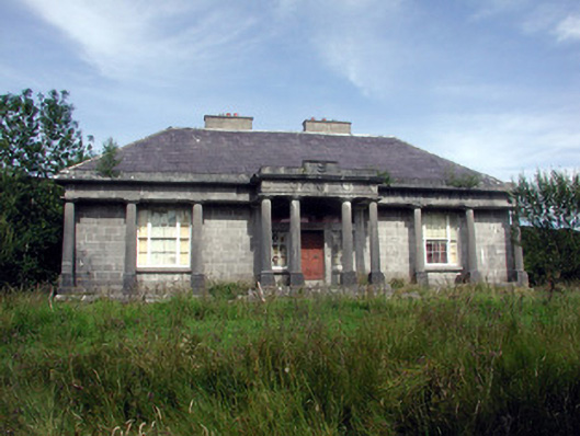 Glenade Housecountry house · 1.7 mi
 Teampul ShetricPenal Mass station · 1.8 mi
 CastleCastle, unclassified · 2.1 mi
 AghalateeveMountain / peak · 2.5 mi
 Memorial Francis FinnMemorial · 2.6 mi
 Dooneen EastMountain / peak · 2.6 mi
 Eagle's RockMountain / peak · 2.8 mi
 Doneen WestCliff · 2.8 mi
 Glencar WaterfallVisitor information · 3.0 mi
 Glencar IslandIslet · 3.0 mi
Other information
Photo: Credit not shown in the picture search · Rights wording not checked; contact us if this picture should be removed