
What is recorded here
Situated on a high, heather-covered limestone plateau that slopes down to the SE, it is not marked on any map. This is a heather-covered subcircular area (int. dims c. 40m N-S; c. 36m E-W) defined by a stone spread (Wth 1.5m; H 0.6m) which is emerging from the bog. An entrance was not identified. Its precise location cannot be assured.
The above description is derived from 'The Archaeological Inventory of County Leitrim' compiled by Michael J. Moore (Dublin: Stationery Office, 2003). In certain instances the entries have been revised and updated in the light of recent research.
Date of upload: 23 September 2008
The monument record does not grant public access. Check the route and ask the landowner before entering private land.
- What survives
- Recorded monument
Places near here
 IndicatedEnclosure · 726 yd
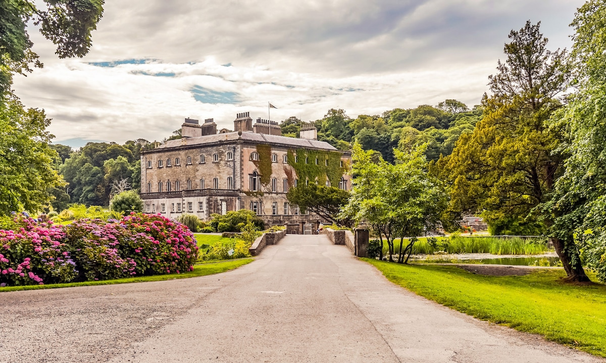 Enclosure in Aghamore (rosclogher By., Glencar Ed)Enclosure · 1642 yd
 CastleCastle, unclassified · 1.8 mi
 Penal Mass station in GortnagarnPenal Mass station · 2.0 mi
 Teampul ShetricPenal Mass station · 2.0 mi
 Memorial Francis FinnMemorial · 2.2 mi
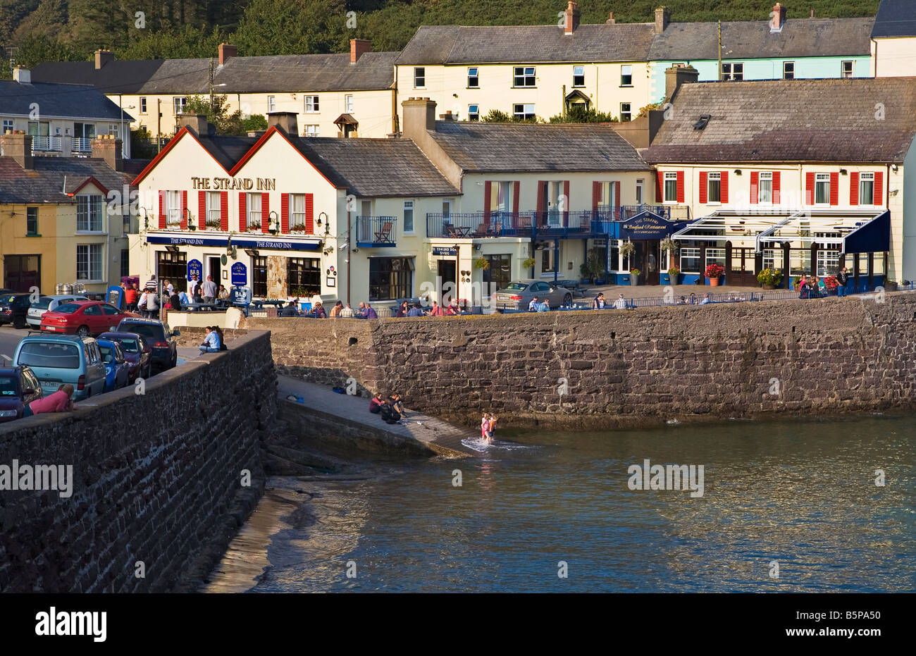 Dooneen EastMountain / peak · 2.2 mi
 Dooneen SouthMountain / peak · 2.3 mi
 Doneen WestCliff · 2.4 mi
 Eagle's RockMountain / peak · 2.5 mi
 Glencar WaterfallVisitor information · 2.6 mi
 Glencar IslandIslet · 2.6 mi
Other information
Photo: Credit not shown in the picture search · Rights wording not checked; contact us if this picture should be removed