
What is recorded here
Situated on a heather-covered limestone plateau that slopes down generally to the SE. Marked on the 1835 ed. of the OS 6-inch map where it is described in gothic lettering as a ‘fort’. This is an oval area (int. dims 41m NE-SW; 23m NW-SE) defined by a stone spread (Wth 1-1.5m) emerging from the bog. An entrance is not identified.
The above description is derived from 'The Archaeological Inventory of County Leitrim' compiled by Michael J. Moore (Dublin: Stationery Office, 2003). In certain instances the entries have been revised and updated in the light of recent research.
Date of upload: 23 September 2008
The monument record does not grant public access. Check the route and ask the landowner before entering private land.
- What survives
- Recorded monument
Places near here
 Enclosure in LargyEnclosure · 726 yd
 Enclosure in Aghamore (rosclogher By., Glencar Ed)Enclosure · 1487 yd
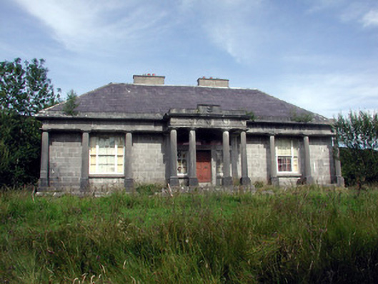 Glenade Housecountry house · 1.7 mi
 Teampul ShetricPenal Mass station · 1.8 mi
 CastleCastle, unclassified · 2.1 mi
 AghalateeveMountain / peak · 2.5 mi
 Memorial Francis FinnMemorial · 2.6 mi
 Dooneen EastMountain / peak · 2.6 mi
 Eagle's RockMountain / peak · 2.8 mi
 Doneen WestCliff · 2.8 mi
 Glencar WaterfallVisitor information · 3.0 mi
 Glencar IslandIslet · 3.0 mi
Other information
Photo: Credit not shown in the picture search · Rights wording not checked; contact us if this picture should be removed