
What is recorded here
Barytes mining was carried out here from 1894 to 1979. In the site ther are ruins of the old buildings and of the cable way.
From OpenStreetMap (© OpenStreetMap contributors) n9061061254
Places near here
 Glencar Lough ViewpointViewpoint · 1.1 mi
 Kings MountainMountain / peak · 1.9 mi
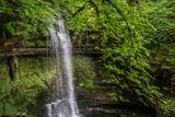 Glencar WaterfallVisitor information · 2.1 mi
 Glencar WaterfallWaterfall · 2.1 mi
 TruskmoreMountain / peak · 2.1 mi
 Glencar IslandIslet · 2.2 mi
 Gleniff Horseshoe DriveViewpoint · 3.1 mi
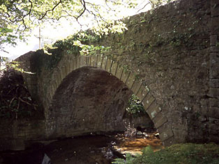 Ballaghnatrillick BridgeBridge · 3.1 mi
 Church (in Ruins)Church · 3.3 mi
.jpg/250px-Keeloges_holy_well_(7).jpg "Photo: A.-K. D., Wikimedia Commons · CC BY-SA 4.0") Holy well in KeelogesHoly well · 3.3 mi
Holy well in KeelogesHoly well · 3.3 mi Stone head in KeelogesStone head · 3.3 mi
 Drumcliff CemeteryGraveyard · 3.8 mi
Pictures: Willie Duffin, Geograph · CC BY-SA 2.0; Michael Murtagh, Geograph · CC BY-SA 2.0; Dieglop, Wikimedia Commons · CC BY-SA 4.0; John M, Geograph · CC BY-SA 2.0; NTF30, Wikimedia Commons · CC BY-SA 4.0; Oliver Dixon, Geograph · CC BY-SA 2.0; Suzanne Mischyshyn, Geograph · CC BY-SA 2.0; National Inventory of Architectural Heritage; A.-K. D., Wikimedia Commons · CC BY-SA 4.0; Kenneth Allen, Geograph · Creative Commons Attribution-ShareAlike 2.0
More historic places in County Sligo · All of County Sligo
What do you know about this place?