
What is recorded here
On a knoll on the SE-facing slope in the centre of a field of tillage with good views in all directions. Scrub-covered raised circular area (int. diam. 33m SE-NW) enclosed by a poorly preserved earth and stone bank (Wth at top 2m; overall Wth 3.5m; int. H 0.2m; ext. H 1-1.3m) which has been mainly reduced to a scarp with slight traces of an outer fosse which has been mainly filled in and entrance gap (Wth. 7m) at SE which has been widened. Livestock gap (Wth 2m) in bank at NW. Interior follows natural slope of terrain sloping from NW to SE. Old quarry hole evident in external face of scarp at S. Field boundaries depicted on latest ed. OS 6-inch map immediately enclosing ringfort to S and W have been removed.
Compiled by: Jean Farrelly
Date of upload: 26 August 2011
The monument record does not grant public access. Check the route and ask the landowner before entering private land.
- What survives
- Recorded monument
Places near here
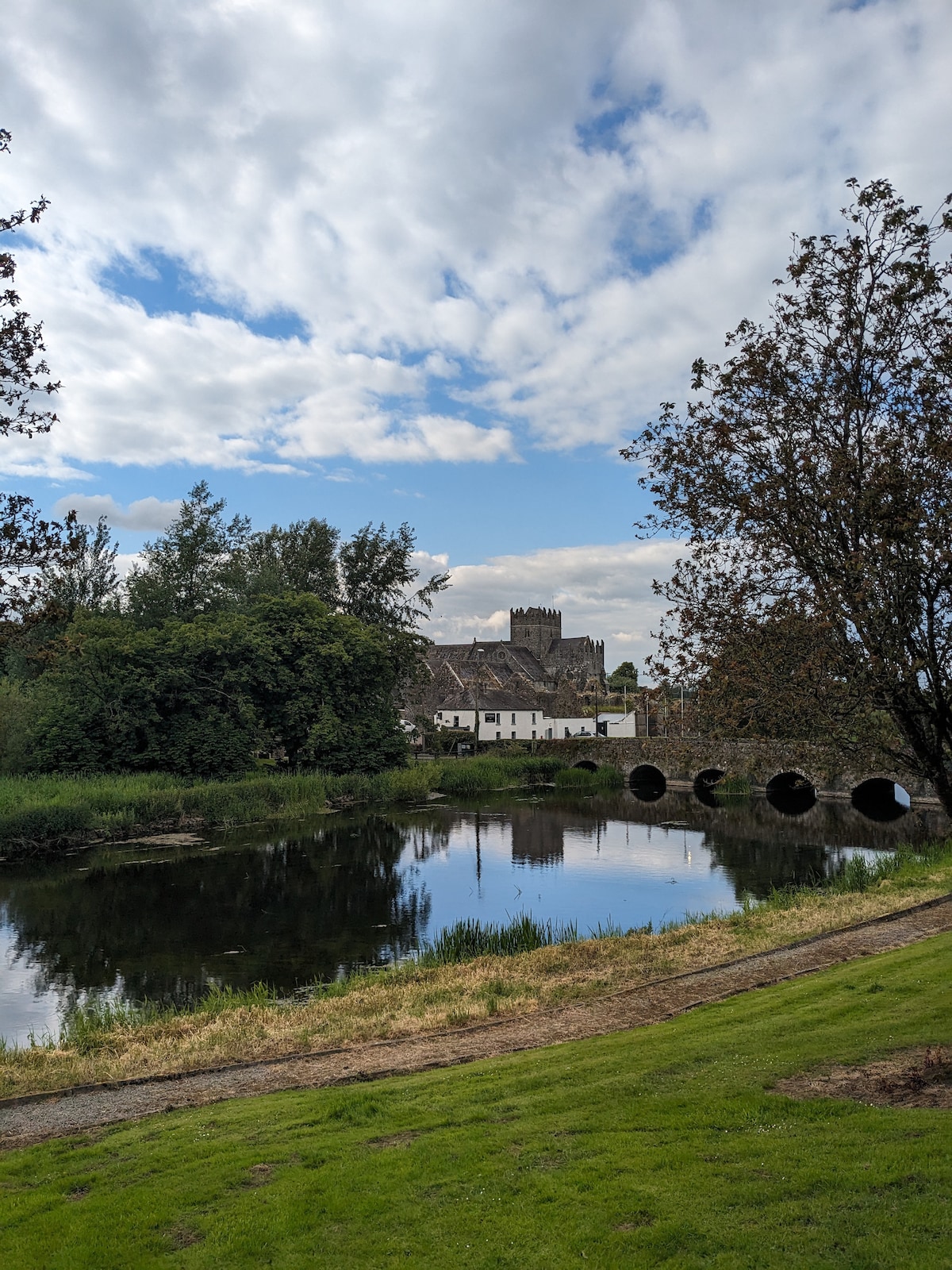 Clonoulty Ho.House, 17th century · 1204 yd
 St. Johns WellHoly well · 1329 yd
 St Johns ChurchReligious house, Knights Templars · 1439 yd
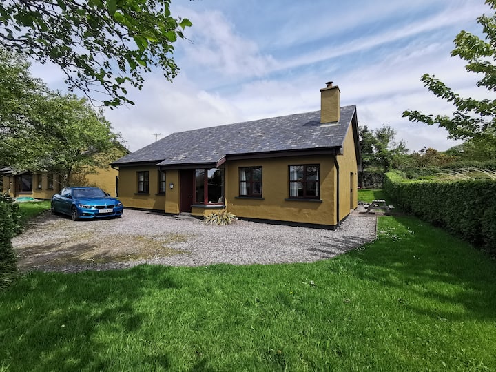 Enclosure in Milltown (clogher Par.)Enclosure · 1582 yd
 Milltown CastleCastle · 1.3 mi
 Clonoulty HillMountain / peak · 1.3 mi
 Clogher CastleCastle · 1.4 mi
 Drum WoodWood · 2.8 mi
 Wych ElmWych Elm · 4.2 mi
 Killough Hill (site of)Mountain / peak · 4.4 mi
 Cormackstown Heritage CentreMuseum · 5.3 mi
 Soloheadbeg Ambushambush · 11 mi
Other information
Photo: Credit not shown in the picture search · Rights wording not checked; contact us if this picture should be removed