Places near here
Photo credits
- National Inventory of Architectural Heritage
- A.-K. D., Wikimedia Commons · CC BY-SA 4.0
- Kieran Campbell, Geograph · Creative Commons Attribution-ShareAlike 2.0
- Sabrina O Brien, Wikimedia Commons · CC BY-SA 4.0
- Andy Ryan / 1803 Productions, credited by Kilkenny GAA, kilkennygaa.ie
- Martin Richard Phelan, Geograph · CC BY-SA 2.0
- Mike Searle, Geograph · CC BY-SA 2.0
- Picture: Historic image via Pinterest
- Willow, Wikimedia Commons · CC BY 2.5
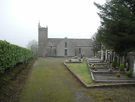 All Saints' Catholic ChurchChurch/chapel · 1.1 mi
Explorer Tom All Saints' Church in Knockmoylan thinks tourists from Dublin are just here to take photos and leave crumbs of their…
 Lismateige BridgeBridge · 1.2 mi
Explorer Tom Lismateige Bridge is crossing the Pollanassa River with barely-refined dressings that give it an appealing rustic look…
 St. Lukes WellHoly well · 1.7 mi
Explorer Tom St. Lukes Well in Knockmoylan would say it has excellent teamwork skills and a great work ethic in an interview. It’s…
 Graveyard in KilkeasyGraveyard · 2.0 mi
Explorer Tom Graveyard in Kilkeasy has a long-standing grudge against the weather, mostly because the ivy keeps winning the war for…
 Kilmogue Portal TombArchaeological place · 2.1 mi
Explorer Tom Kilmogue Portal Tomb rises on Carricktriss Gorse near Mullinavat, and its granite capstone looks as though a giant has…
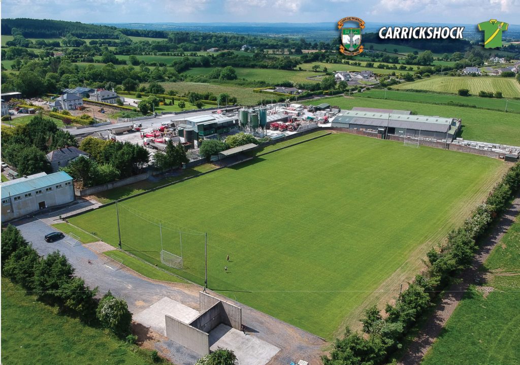 Carrickshock GAA pitchGAA ground · 3.2 mi
 Poulanassy WaterfallWaterfall · 3.5 mi
Explorer Tom Poulanassy Waterfall is a South Kilkenny favourite that finally got a proper welcome mat: a car park and walking trail…
 CastleCastle, tower house · 3.6 mi
Explorer Tom Castle in Kilcurl is probably the favorite hangout for local rabbits, who think the vaulted ceilings are just fancy…
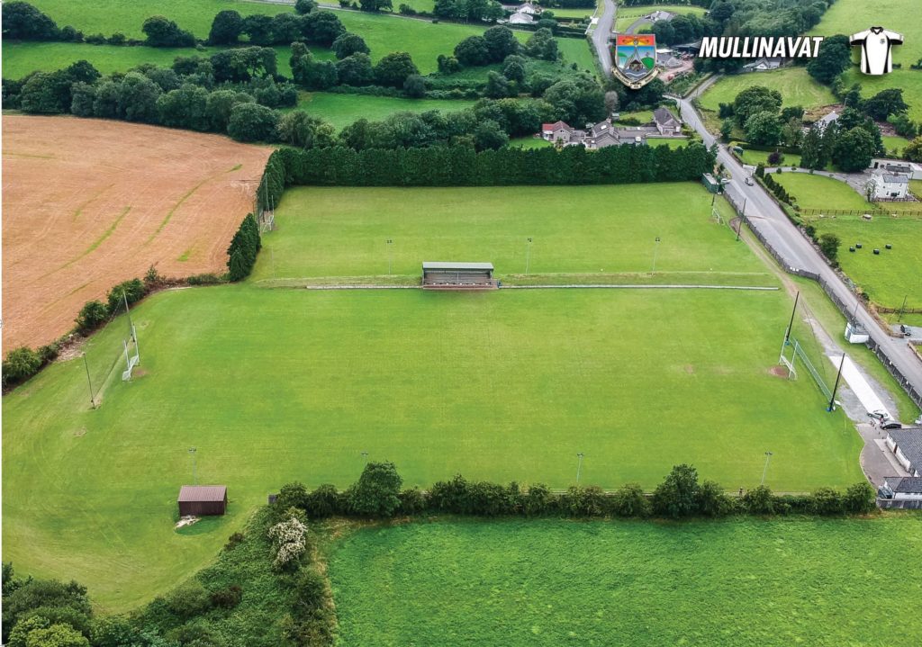 Mullinavat GAAGAA ground · 3.6 mi
 Castle MorresCastle, unclassified · 4.3 mi
Explorer Tom Castle Morres would bring absolutely nothing to a party because it has already been demolished out of pure spite…
 Common Alder4.4 mi
Explorer Tom Common Alder would introduce itself as 'the king of the muddy bog' to any stranger nearby. It loves wet feet more than…
 Graveyard in DerrynahinchGraveyard · 4.4 mi
Explorer Tom Graveyard in Derrynahinch probably ended up here because a cart driver took a wrong turn in 1800. He panicked, dumped…
More archaeology and monuments in County Kilkenny · All of County Kilkenny

What do you know about this place?Tap to add a comment or ask a question