What is recorded here
From the National Monuments Service (Archaeological Survey of Ireland) record CO043-008
Places near here
Photo credits
- National Inventory of Architectural Heritage
- Maker not stated on source page, www.flickr.com
- Maker not stated on source page, monumentalireland.ie
- Maker not stated on source page, www.pinterest.com
- Jonathan Thacker, Geograph · CC BY-SA 2.0
- Maker not stated on source page, www.dreamstime.com
 Coom BridgeBridge · 1.3 mi
Explorer Tom Coom Bridge has two low stone arches that are just chilling over the Bride River since 1800. The stonemasons really…
 Wood CottageHouse · 4.9 mi
Explorer Tom Wood Cottage in Kylenahoory was built by someone who was definitely thinking about their garden while they hammered the…
 Holy well in CastleblaghHoly well · 5.1 mi
Explorer Tom Holy well in Castleblagh is completely hidden under a large fallen tree. It's called 'Tobar a'Chaipín', but right now…
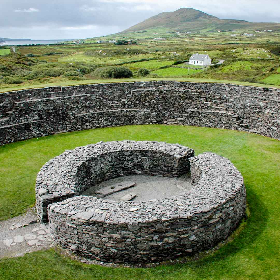 Fairy fort / earthen ringfort in Ardnageehy WestFairy fort / earthen ringfort · 5.2 mi
Explorer Tom Fairy fort / earthen ringfort in Ardnageehy West is currently locked in a fierce dispute with a local cow over who gets…
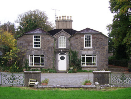 ConvamoreSteward's house · 5.5 mi
Explorer Tom Convamore steward's house in Conva has its rear elevation as the front, which is a bit of a plot twist. It’s got…
 mill (water)5.7 mi
Explorer Tom Gortroche mill has swapped its water wheel for a living room, which is basically cheating at being industrial history.…
 Ballyhooly LodgePublic house · 5.7 mi
Explorer Tom Ballyhooly Lodge is a public house that looks like it took its job very seriously before anyone cared. That chamfered…
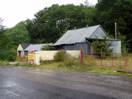 creamery5.8 mi
Explorer Tom Creamery in Gortroche is covered in corrugated iron that screams 'I need a haircut' to the council. It’s got cast-metal…
 Ballyhooly BridgeBridge · 5.9 mi
Explorer Tom Ballyhooly Bridge mixes old stone piers with new concrete decking like a bad fashion sense. A love story went badly…
 CastleBawn · 5.9 mi
Explorer Tom Castle bawn in Conva is just a section of wall with a circular tower in the corner, looking like it forgot the rest of…
 Ballyhooly CastleCastle · 5.9 mi
Explorer Tom Ballyhooly Castle in County Cork is an early sixteenth-century tower house. You can see part of the bawn wall on the…
 Ballyhooly CemeteryGraveyard · 6.1 mi
Explorer Tom Ballyhooly Cemetery claims it’s older than the concept of standing still, which is a bold move for a patch of dirt. I’m…
More archaeology and monuments in County Cork · All of County Cork

What do you know about this place?Tap to add a comment or ask a question