What is recorded here
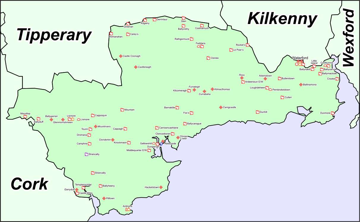
Situated on a NW-facing slope of Croughaun Hill. Circular grass-covered area (diam. 32m N-S; 31m E-W) defined by an overgrown earthen bank (Wth 3-5m; int. H 0.5-1.2m; ext. H 0.2-1.2m) with traces of stone-facing and slight traces of an external fosse. The entrance (Wth 3.6m) at NW is probably modern.
The above description is derived from the published 'Archaeological Inventory of County Waterford' (Dublin: Stationery Office, 1999). In certain instances the entries have been revised and updated in the light of recent research.
Date of upload/revision: 23 December 2008
The monument record does not grant public access. Check the route and ask the landowner before entering private land.
- What survives
- Recorded monument
Places near here
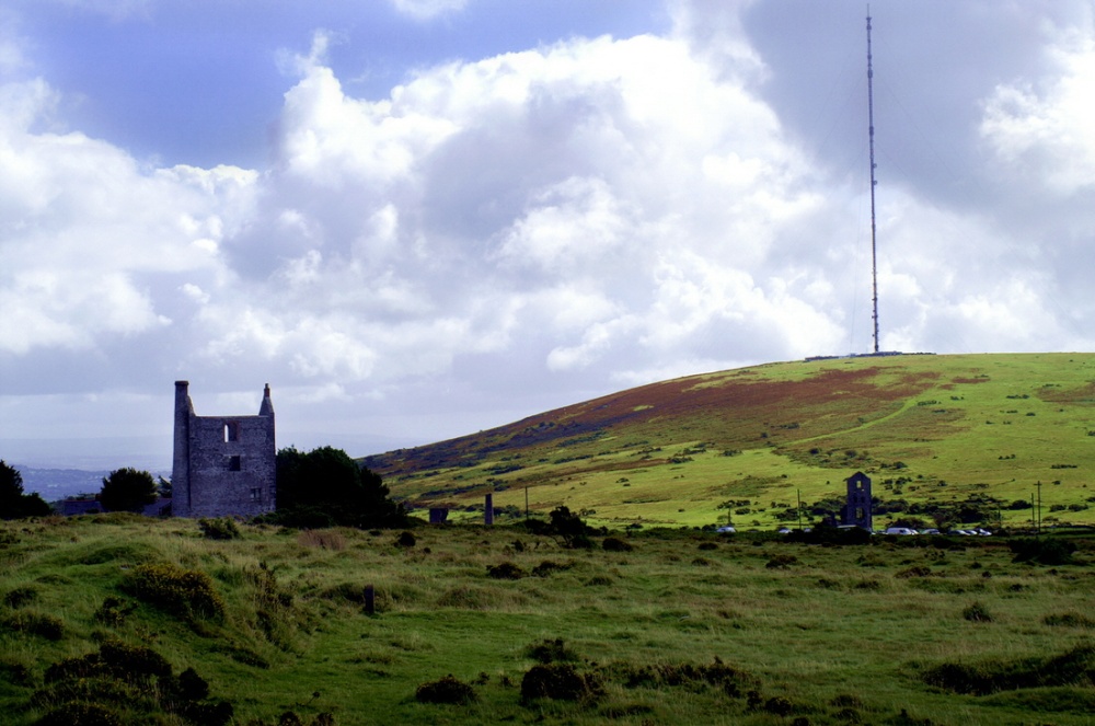 Mine in KnockaturnoryMine · 399 yd
 Ecclesiastical enclosure in KnockaturnoryEcclesiastical enclosure · 876 yd
 Croughaun HillMountain / peak · 1014 yd
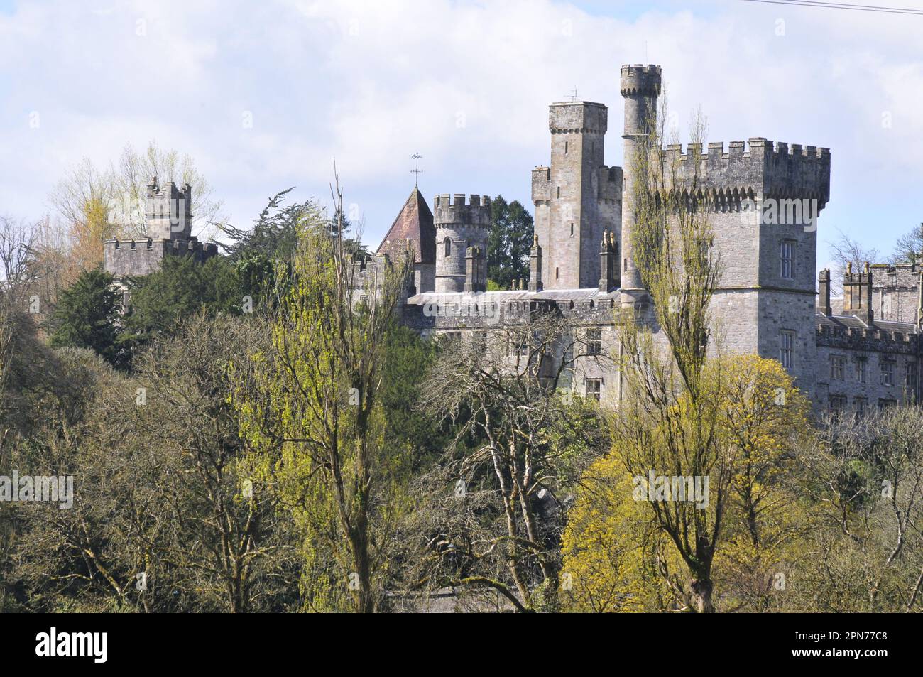 Enclosure in MunsburrowEnclosure · 1.2 mi
 Church in CoolnahornaChurch · 1.3 mi
 CastleCastle, tower house · 1.3 mi
 Kilclooney WoodForest · 2.0 mi
 Whitestown WoodForest · 2.4 mi
 LackaduffMountain / peak · 2.7 mi
 Feddans CastleRuins · 2.8 mi
 CoumshingaunMountain corrie and lake · 3.0 mi
 The Boolas Linear TrailWalking route · 3.7 mi
Other information
Photo: Credit not shown in the picture search · Rights wording not checked; contact us if this picture should be removed