What is recorded here
Situated on the S-facing side of a NW-SE ridge within the garden of a modern house. Depicted as a circular enclosure on the 1837 OS 6-inch map. On the 1913 edition a hachured arc representing the W half of the enclosure diam. c. 25m) is shown. There are no remains now identifiable at ground level. A property boundary appears to respect the original W-NW curve of the enclosure.
Compiled by: Patrick F. O'Donovan
Date of upload: 19 January 2011
The monument record does not grant public access. Check the route and ask the landowner before entering private land.
- What survives
- Recorded monument
Places near here
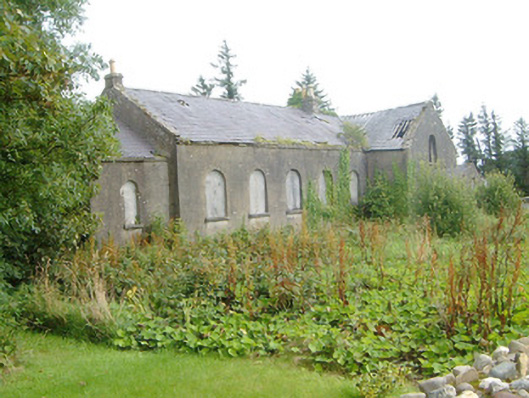 Dromore West Presbyterian Churchchurch/chapel · 127 yd
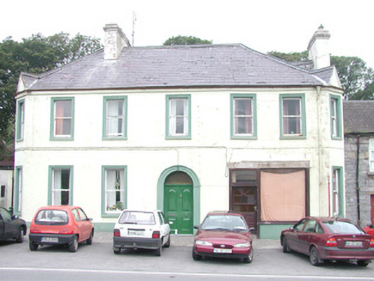 hotelhotel · 364 yd
 Site of Dunneill CastleCastle, unclassified · 518 yd
 IndicatedFairy fort / ringfort · 532 yd
 Enclosure in Carrownrush (tireragh By., Easky East Ed),carrowmablyEnclosure · 1245 yd
 DonaghHeadland · 1.4 mi
 Ballynahowna CastleCastle, tower house · 1.7 mi
 Split RockNamed rock · 2.4 mi
 Jim Smith MemorialMemorial · 3.8 mi
 Wild Atlantic Way: Easky PierVisitor information · 4.2 mi
 Eamonn's TopMountain / peak · 5.9 mi
 Knockalongy South-West TopMountain / peak · 6.0 mi