
Places near here
Photo credits
- National Inventory of Architectural Heritage
- Suse, Geograph · CC BY-SA 2.0
- PST Sport (project contractor and publisher); individual photographer not named, pstsport.com
- Kmcnamee, Wikimedia Commons · CC BY-SA 4.0
- John M, Geograph · CC BY-SA 2.0
- Grose, Francis, 1731?-1791; Ledwich, Edward, 1738-1823, continuator, Wikimedia Commons · Public domain
Explorer Tom Kiltoghert’s tiny enclosure would tell you its secret after a few pints, likely that it was actually a giant’s pillow.…
Sheemore Ambush MemorialMonument · 1.7 miExplorer Tom Sheemore Ambush Memorial in County Leitrim has an escape plan involving a ladder and a lot of luck. The first owner…
Leabaidh DermotCave · 1.7 miExplorer Tom Leabaidh Dermot is a cave named after a guy, which is what happens when you can't think of anything better to name it.…
CastlecarraCastle, unclassified · 2.3 miExplorer Tom Castlecarra in Aghancarra is basically a rumour that got a map label. Two lads bet a pint it was red brick, and they…
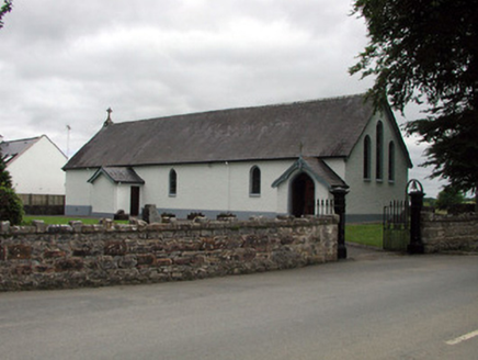 Saint Joseph's Catholic ChurchChurch/chapel · 2.3 mi
Explorer Tom Saint Joseph's Catholic Church in Tullylannan is being criticized by local seagulls for not having better stained glass…
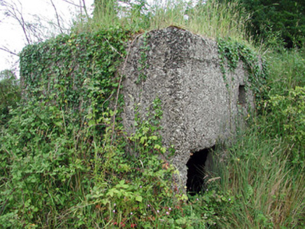 pill box2.3 mi
Explorer Tom Pill box in Tullylannan nearly got famous when a tourist mistook it for a giant concrete egg. It’s a WWII relic that…
 Shannon-Erne WaterwayVisitor information · 2.4 mi
Explorer Tom The Shannon-Erne Waterway was the result of a bad bet between two kings who couldn't agree on which river was more…
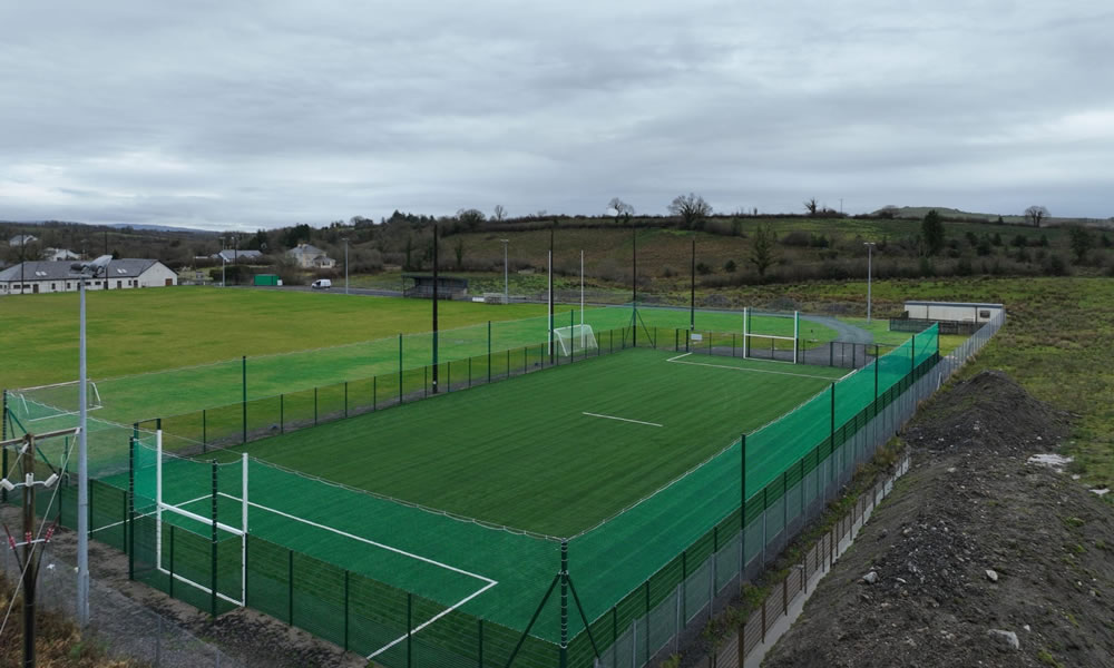 Leitrim Gaels Community FieldGAA ground · 2.4 mi
 Pairc Naoimh Mhuire, St. Mary's GAA, KiltoghertGAA ground · 2.9 miDeclaration of IndependenceMemorial · 3.1 mi
Explorer Tom The Declaration of Independence memorial has a shortcut that isn't actually a shortcut because it just goes around in a…
 Finn McCool's MonumentArchaeological place · 3.5 mi
Explorer Tom Finn McCool's Monument in County Leitrim has a fan club that mostly consists of confused tourists and one very loyal…
 Castle JohnCastle · 4.5 mi
Explorer Tom Castle John has a superstition that says if you don’t bow to it first, your shoelaces will untie themselves for a week.…
More archaeology and monuments in County Leitrim · All of County Leitrim

What do you know about this place?Tap to add a comment or ask a question