
What is recorded here
In low-lying pastureland. This roughly circular enclosure (diam. c. 140m) is defined by a double-faced, now much-collapsed, grass-covered drystone wall (H 0.3-1m; Wth 1.5-2.5m). A later field wall has been built on top it, apart from the W to N sector. There is a stone-lined entrance gap (Wth 1.9m) at SE. The interior…
Read the whole record
From the National Monuments Service (Archaeological Survey of Ireland) record GA103-139002
Places near here
Photo credits
- Maker not stated on source page, www.geograph.ie
- Maker not stated on source page, br.pinterest.com
- Maker not stated on source page, www.flickr.com
- Maker not stated on source page, www.irishcentral.com
- Maker not stated on source page, monumentalireland.ie
- Maker not stated on source page, www.dreamstime.com
- Maker not stated on source page, www.pinterest.com
- Maker not stated on source page, hikersbay.com
- Newbert12, Wikimedia Commons · CC BY-SA 4.0
- Maker not stated on source page, www.ancient-origins.net
- Maker not stated on source page, en.wikipedia.org
 Graveyard in Kiltiernan EastGraveyard · 15 yd
Explorer Tom Graveyard in Kiltiernan East would tell its younger self to stop worrying about the wall collapsing because nobody…
 Fairy fort / earthen ringfort in Caherpeak WestFairy fort / earthen ringfort · 569 yd
Explorer Tom Fairy fort / earthen ringfort in Caherpeak West has been ploughed out so thoroughly it’s basically just a hill now. If…
 Fairy fort / stone ringfort in Kiltiernan EastFairy fort / stone ringfort · 1413 yd
Explorer Tom Fairy fort / stone ringfort in Kiltiernan East holds a world record for 'Most Boring Circle'. It’s got a secret tunnel…
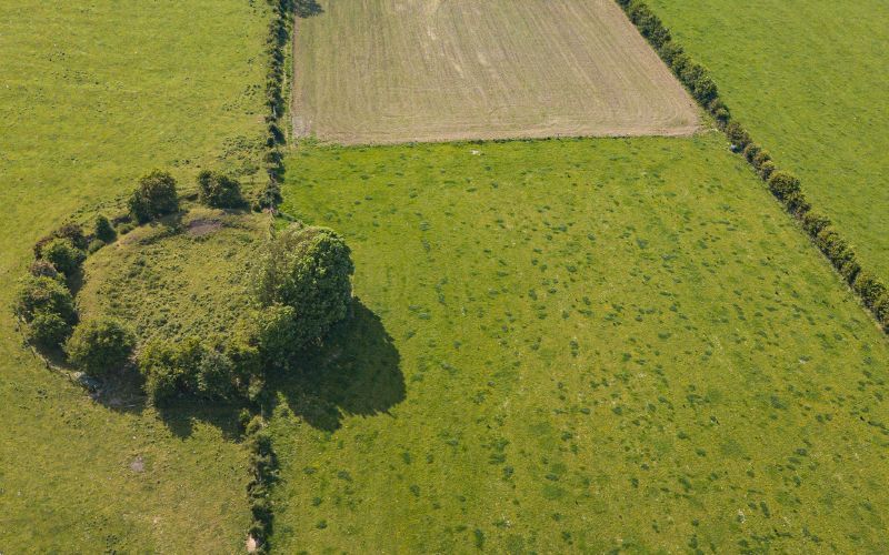 Fairy fort / earthen ringfort in Keamsellagh EastFairy fort / earthen ringfort · 1.0 mi
Explorer Tom Fairy fort / earthen ringfort in Keamsellagh East had one New Year's resolution: stop letting farmers plough through…
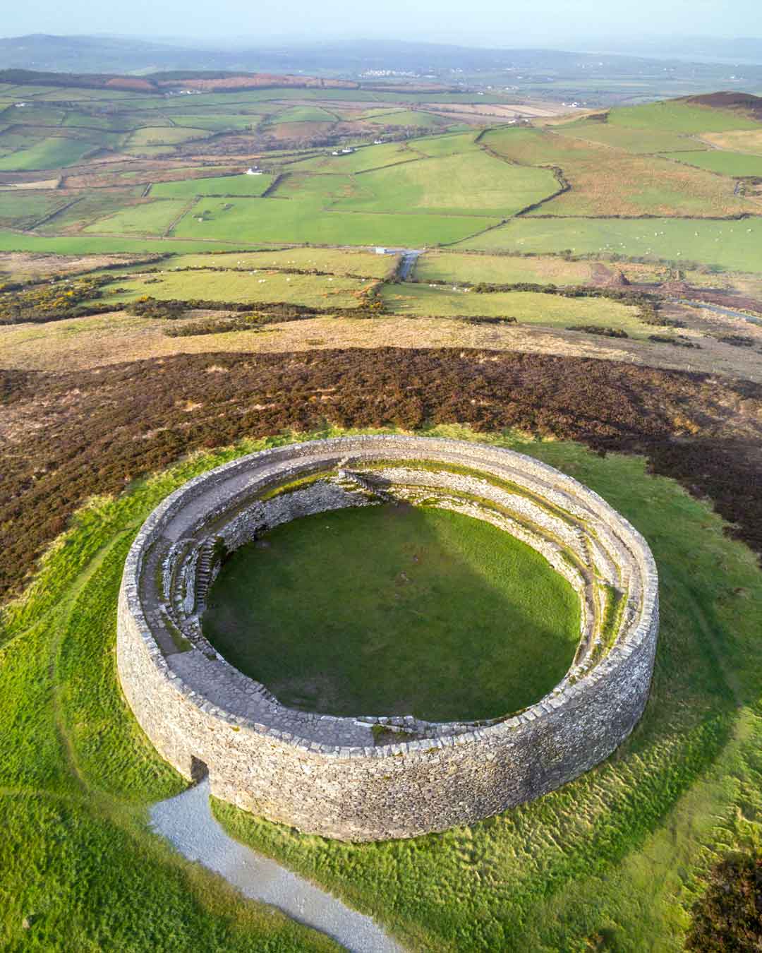 Fairy fort / stone ringfort in Keamsellagh WestFairy fort / stone ringfort · 1.3 mi
Explorer Tom Fairy fort / stone ringfort in Keamsellagh West has given up on being impressive, which is why it looks like a tired…
 Church (in ruins)Church · 2.1 mi
Explorer Tom Church in Killeenavarra would win the county fair for best dressed if it could put on a hat. It’s wedged into a ridge…
 Cross-inscribed stone in KilcolganCross-inscribed stone · 2.1 mi
Explorer Tom A cross-inscribed stone in Kilcolgan sits on an overgrown altar, dated 1716 with a Calvary base and INRI monogram. Hum…
 Holy Well2.1 mi
Explorer Tom Holy Well in Ballymore might not even be a well; it could just be a cross-shaft with imposture issues. No visible trace…
 Kilcolgan BridgeBridge · 2.2 mi
Explorer Tom Kilcolgan Bridge was built on a bargain where the river promised not to flood for a century. It mixes rubble and cut…
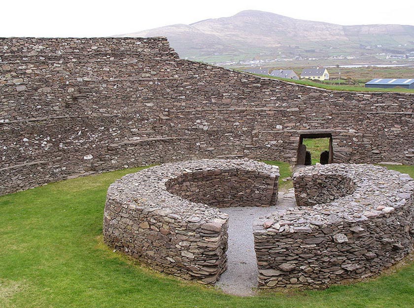 Fairy fort / earthen ringfort in KilleenavarraFairy fort / earthen ringfort · 2.3 mi
Explorer Tom Fairy fort / earthen ringfort in Killeenavarra is definitely doing something suspicious when nobody's looking, probably…
 Mapped cemeteryCemetery · 2.6 mi
Explorer Tom This mapped cemetery is incredibly proud of its ability to grow ivy that looks exactly like a snake. It thinks this…
 Cregganna Castle (in ruins)Castle, tower house · 4.5 mi
Explorer Tom Cregganna Castle is up high in the woods, having been home since the 1500s and altered since then. It’s seen more…
More archaeology and monuments in County Galway · All of County Galway

What do you know about this place?Tap to add a comment or ask a question