What is recorded here
Altar is more likely than Holy Well. The 1837 map missed the place, the 1922 map named Altar, and a cross-shaft on a pedestal matched that name. A well may have been invented from a bad copying of Altar. The real marker was stone, not water.
In flat pastureland. Named 'Holy Well' but not indicated on the 1837 edition of the OS 6-inch map. No visible surface trace of it survives and its existence was not remembered locally. It is possible that the name is an error and should have read 'Altar', as on the 1922 edition of the map. The latter feature proved to be the remains of a cross-shaft on a pedestal and base (see GA113-023----).
Compiled by: Olive Alcock
Date of upload: 16 November 2022
The monument record does not grant public access. Check the route and ask the landowner before entering private land.
- What survives
- Recorded monument
Places near here
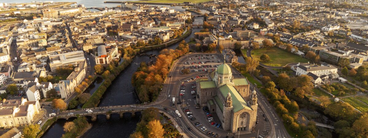 IndicatedEnclosure · 785 yd
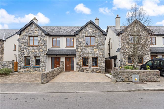 Enclosure in Ballymore (killeenavarra By.)Enclosure · 1031 yd
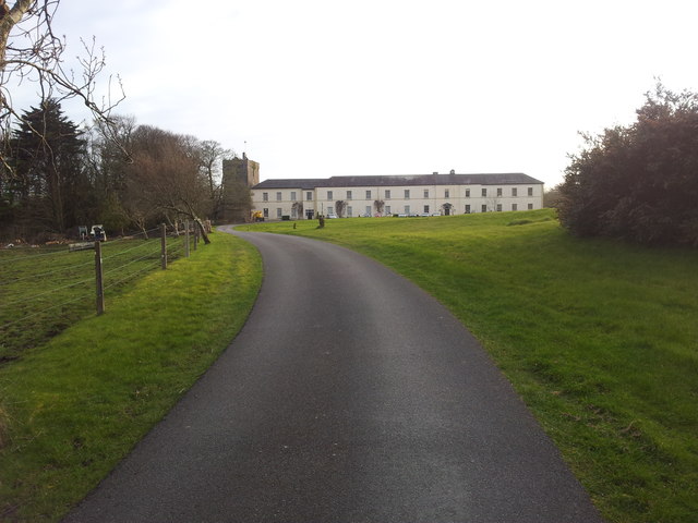 Cloghballymore Ho.House, 18th/19th century · 1.2 mi
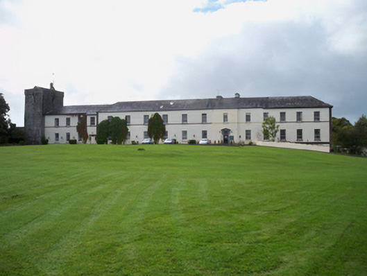 Cloghballymore Housecountry house · 1.2 mi
 Drumharsna CastleHeritage attraction · 2.1 mi
 Drumharsna Castle (in ruins)Castle, tower house · 2.1 mi
 Dungory Castle (in ruins)Castle, tower house · 2.6 mi
 Drumacoo Monastic SiteHeritage attraction · 2.6 mi
 Mulroney's IslandIslet · 3.0 mi
 Cusheen IslandIslet · 3.2 mi
 Kilcornan ForestWood · 4.4 mi
 Traught BeachBeach / strand · 4.6 mi