What is recorded here
Killeenavarra was a rectangular stone fort in Ballymore farmland, large enough to hold three houses and a dividing wall before the land swallowed the marks. Its double-faced boundary and outer crescent suggested a settled place where people controlled entry, exit and the use of its rooms. The stones have vanished from sight, but the shape remains in the names and the memory of the field.
In farmland. Classified by McCaffrey (1952, 178-9, no. 119) as a rectangular ‘Stone fort’
(38.4m N-S; 36.9m E-W) defined by a drystone wall (Wth 2.7m) composed of two faces of stone set on edge. Three house sites (GA103-016001- to GA103-016003-) and an internal dividing wall were visible in the interior. A wall extended from the monument at W, running in a NW direction. Two enclosures (GA103-016004- and GA103-016005-) were located near it. Unlike the house sites, which were also defined by double-faced walls, the walls of these structures consisted of a single face of blocks set on edge. A crescent-shaped wall of single blocks extended off N end of the monument. No visible surface trace of any of these features survives.
Compiled by: Galway Archaeological Survey, UCG
Date of upload: 13 February 2019
The monument record does not grant public access. Check the route and ask the landowner before entering private land.
- What survives
- Recorded monument
Places near here
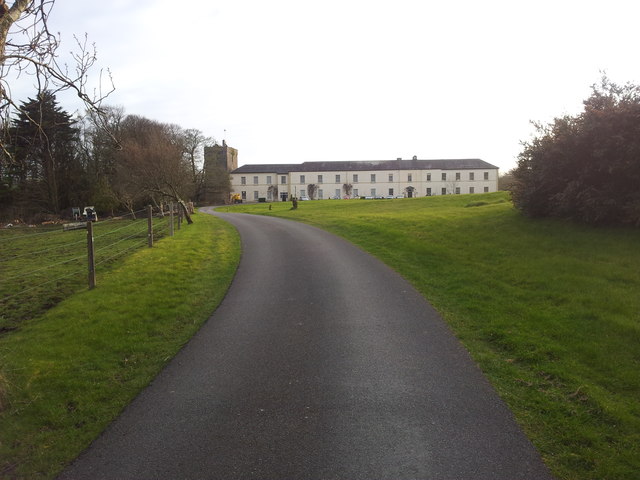 Cloghballymore Ho.House, 18th/19th century · 1058 yd
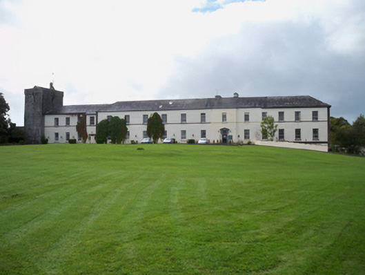 Cloghballymore Housecountry house · 1120 yd
 IndicatedEnclosure · 1259 yd
 CahershaneykellyFairy fort / stone ringfort · 1.1 mi
 Drumacoo Monastic SiteHeritage attraction · 2.2 mi
 Dungory Castle (in ruins)Castle, tower house · 2.3 mi
 Dunguaire CastleCastle · 2.3 mi
 Mulroney's IslandIslet · 2.5 mi
 Drumharsna CastleHeritage attraction · 2.6 mi
 IllananireyIslet · 2.7 mi
 Traught BeachBeach / strand · 4.0 mi
 Mweenish PointHeadland · 4.1 mi
Other information
Photo: Credit not shown in the picture search · Rights wording not checked; contact us if this picture should be removed