Places near here
Photo credits
- National Inventory of Architectural Heritage
- David Sands, Geograph · CC BY-SA 2.0
- Garry Dickinson, Geograph · CC BY-SA 2.0
- Jonathan Thacker, Geograph · Creative Commons Attribution-ShareAlike 2.0
- Roger W Haworth, Wikimedia Commons · CC BY-SA 2.0
- Keith Phelan, Wikimedia Commons · CC BY-SA 4.0
- Golfing in Ireland; photographer not stated, Source publisher
 Sea CourtCountry house · 1224 yd
Explorer Tom Sea Court in Ballinvrokig has very strong opinions on modern buildings, mostly involving shaking its segmental-arched…
 Dunworly BeachBeach / strand · 1336 yd
Explorer Tom Dunworly Beach makes you earn your sand: a little road across Cork's Seven Heads peninsula, a grassy perch above the…
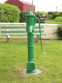 water pump1614 yd
Explorer Tom Butlerstown Water pump believes it has an imaginary twin across the sea that pumps up salt water instead of fresh. It’s…
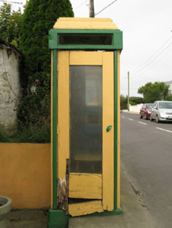 telephone box1615 yd
Explorer Tom Telephone box in Butlerstown is a rare mid-20th-century relic that used to run the social life of the village. It does…
 Ballylangy HouseCountry house · 1.1 mi
Explorer Tom Ballylangy House sits in its own extensive grounds and looks like it’s waiting for a royal carriage to arrive. The…
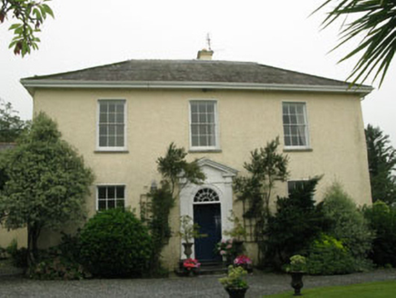 Butlerstown HouseCountry house · 1.1 mi
Explorer Tom Butlerstown House is sitting in the countryside looking all classical from 1805, commissioned by a merchant named Jonas…
 Dunworly CastleCastle · 1.2 mi
Explorer Tom Dunworly Castle in County Cork is cursed to only affect people who don't wave, which explains why so many visitors look…
 St Mary's Roman Catholic ChurchChurch/chapel · 1.5 mi
Explorer Tom St Mary's Roman Catholic Church in Tirnanean is showing off its Gothic Revival muscles with some lovely limestone…
 Grave YardGraveyard · 2.1 mi
Explorer Tom Graveyard in Lisleetemple has headstones from the late 18th century to today, sitting next to a current Church of…
 Michael Collins CentreMuseum · 5.3 mi
Explorer Tom The Michael Collins Centre at Castleview, east of Clonakilty, believes a history lesson ought to make you sit up rather…
 Lios na gCon Ring FortArchaeological place · 5.3 mi
Explorer Tom The seagulls at Lios na gCon say this ringfort is the best spot to nap because the reconstructed walls block out the…
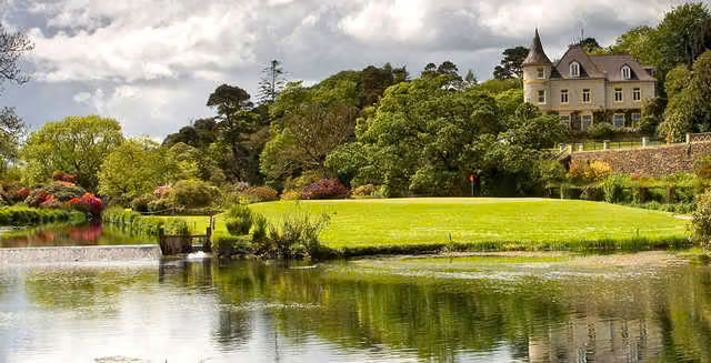 Clonakilty Golf ClubGolf course · 6.8 mi
More historic places in County Cork · All of County Cork

What do you know about this place?Tap to add a comment or ask a question