
What is recorded here
In poorly drained grassland on NW-facing slope of low rising ground with good views in all directions. Large roughly circular area (int. diam. 100m N-S; 90m E-W) enclosed by an earthen bank (top Wth 3m; base Wth 6m; int. H 0.2-0.5m; ext. H 0.5m) and outer fosse (top Wth 4m; base Wth 2m; ext. D 0.2m). Bank preserved as field boundary from NW through N to E only, elsewhere it has been reduced to a low bank from E to S and as a scarp from S tthrough W to NW. Remains of an outer fosse best preserved from NE through E to S. No entrance feature visible. Large irregular-shaped enclosure in wet land and is much larger than the ringforts of the surrounding area. Indicated on first ed. OS 6-inch map as a large roughly rectangular enclosure. No other features visible, example of a large enclosure on wet land similar in size to nearby enclosure (TS052-046----).
Compiled by: Jean Farrelly
Date of upload: 26 August 2011
A local fairy fort (ringfort/rath); wider significance not recorded.
The monument record does not grant public access. Check the route and ask the landowner before entering private land.
- What survives
- Recorded monument
Places near here
 RathbanenaslinnaEnclosure · 879 yd
 Enclosure in LisloranEnclosure · 948 yd
 Church (In Ruins)Church · 1305 yd
 CastleCastle, unclassified · 1.1 mi
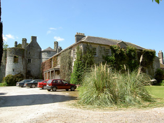 Killenure Castlecountry house · 1.2 mi
 European ashEuropean ash · 1.7 mi
 Wych ElmWych Elm · 1.8 mi
 Camus Castle (in ruins)Castle, unclassified · 2.0 mi
 Hore AbbeyHeritage attraction · 4.0 mi
 Cormac's ChapelHeritage attraction · 4.2 mi
 I.R.A. 3rd. Tipperary Brigade MemorialMemorial · 8.9 mi
 Enclosure in KilshenaneEnclosure · 1165 yd
Other information
Photo: Credit not shown in the picture search · Rights wording not checked; contact us if this picture should be removed