
What is recorded here
On flat reclaimed grassland with good views from N through E to W, higher ground to N. A nearby castle (TS052-03001-) is 700m to NNW. This church is not visible at ground level. Described in the OS letters as 'the ruins of an old building called by the natives Ballymore Church. It extends north and south and measures on the outside fifty five feet [16.75m] in length and thirty feet [9.1m] in breadth and the walls are four feet two inches [1.27m] in thickness. The south gable is in tolerable preservation but the north gable and the sidewalls are destroyed nearly down to the foundations. There was a window in the south gable but it is now destroyed except its east side, which is constructed of chiselled limestone' (O'Flanagan 1930, vol. 1, 102).
Compiled by: Jean Farrelly
Date of upload: 26 August 2011
A local church or high cross; wider significance not recorded.
This remains an important historical record, but the official description says the monument is no longer visible or has been destroyed. The monument record does not grant public access. Check the route and ask the landowner before entering private land.
- What survives
- No visible remains or recorded as destroyed
Places near here
 CastleCastle, unclassified · 785 yd
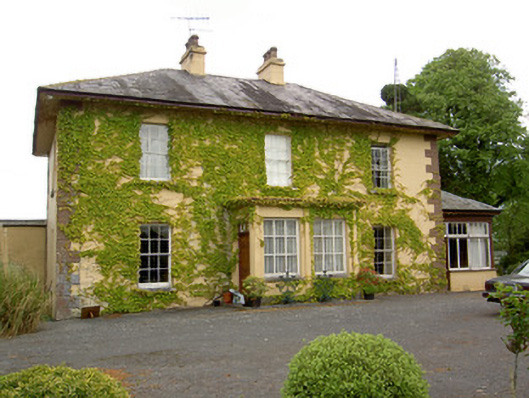 Ballymore Housecountry house · 981 yd
 RathbanenaslinnaEnclosure · 1289 yd
 IndicatedEnclosure · 1305 yd
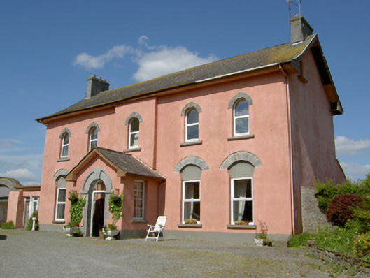 Cappamurracountry house · 1.4 mi
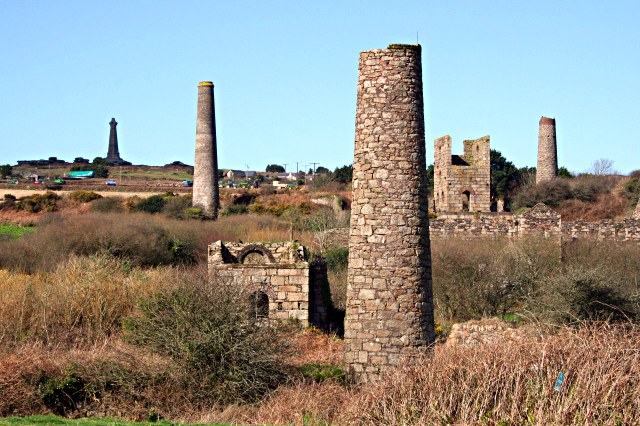 Site of Shanspaur (site of)Castle, unclassified · 1.5 mi
 European ashEuropean ash · 2.4 mi
 Dundrum Woods (Marl Bog)Forest · 4.0 mi
 Hore AbbeyHeritage attraction · 4.2 mi
 Rock of CashelHeritage attraction · 4.4 mi
 The Rock Of CashelVisitor information · 4.4 mi
 Soloheadbeg Ambushambush · 8.6 mi
Other information
Photo: Credit not shown in the picture search · Rights wording not checked; contact us if this picture should be removed