
What is recorded here
In grassland on SE-facing slope of rising ground with good views to SE higher ground to NW. No surface remains visible of any enclosure in area marked on six inch OS 6-inch map. Enclosure indicated on latest ed. OS as a semi-circular earthwork (approx. chord 47m NW-SE) defined by a bank from N through E to S and destroyed on all other sides. On first ed. OS 6-inch map it is shown as a nearly complete circular enclosure with an enclosing bank surviving from W through N through E to S, and destroyed from S to W only. There are a lot of old levelled field boundaries in the field with the enclosure and 88m to the NW of the enclosure there area the grass-covered wall footings of a possible rectangular building (int. dims. 11m SW-NE ; 8m SE-NW) orientated SW-NE (TS052-058002-). According to the local landowner this field is known locally as the 'Church Field'. Well (TS060-115----) marked on the 1903 ed. OS 6-inch map as 'Killeen Well' located in adjoining field 240m S of enclosure.
Compiled by: Jean Farrelly
Date of upload: 26 August 2011
The monument record does not grant public access. Check the route and ask the landowner before entering private land.
- What survives
- Recorded monument
Places near here
 ShaunafaurkEnclosure · 408 yd
 Enclosure in LisloranEnclosure · 1008 yd
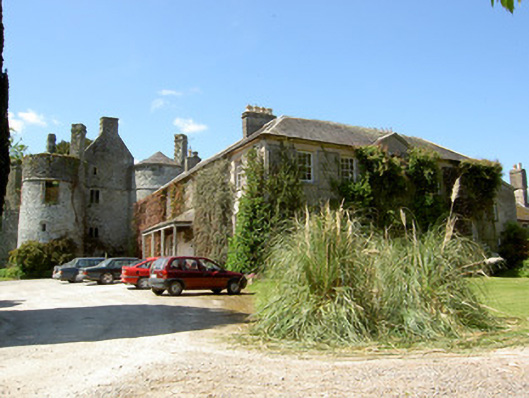 Killenure Castlecountry house · 1669 yd
 European ashEuropean ash · 1.3 mi
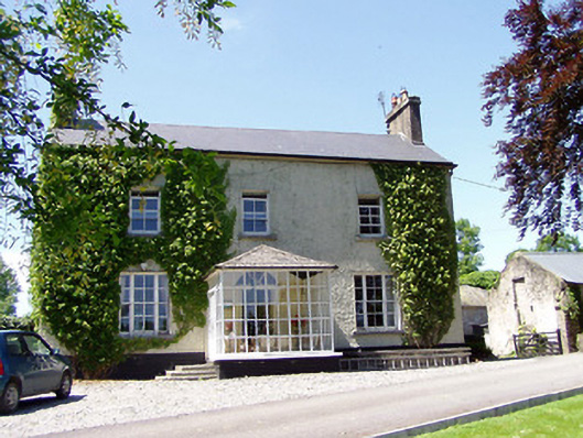 Ballywalter Househouse · 1.3 mi
 Castle (in ruins)Castle, tower house · 1.7 mi
 CastleCastle, unclassified · 1.8 mi
 Wych ElmWych Elm · 1.9 mi
 Hore AbbeyHeritage attraction · 3.7 mi
 Cashel Folk MusuemMuseum · 4.1 mi
 I.R.A. 3rd. Tipperary Brigade MemorialMemorial · 8.4 mi
 IndicatedEnclosure · 1165 yd
Other information
Photo: Credit not shown in the picture search · Rights wording not checked; contact us if this picture should be removed