
What is recorded here
In level pasture. No visible surface trace. Depicted on latest edition OS 6-inch map as an oval area (dims. c. 65m NW-SE; c. 50m NE-SW) within obtuse angle of field boundary which abuts to NE and E. Enclosure (TS060-019----) is c. 40m to ENE and earthwork (TS060-138----) is c. 60m to SE.
Compiled by: Jean Farrelly
Date of upload: 26 August 2011
A local fairy fort (ringfort/rath); wider significance not recorded.
The monument record does not grant public access. Check the route and ask the landowner before entering private land.
- What survives
- Recorded monument
Places near here
 Enclosure in KilshenaneEnclosure · 408 yd
 Enclosure in Ballynahinch (ballygriffin Par.)Enclosure · 889 yd
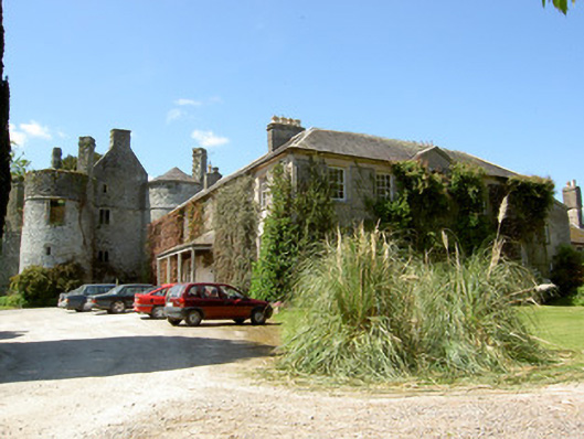 Killenure Castlecountry house · 1.2 mi
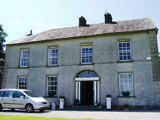 Ballynahinch Househouse · 1.3 mi
 European ashEuropean ash · 1.4 mi
 Camus Castle (in ruins)Castle, unclassified · 1.6 mi
 Castle (in ruins)Castle, tower house · 1.7 mi
 Wych ElmWych Elm · 2.1 mi
 Hore AbbeyHeritage attraction · 3.5 mi
 Athassel PrioryHeritage attraction · 4.4 mi
 I.R.A. 3rd. Tipperary Brigade MemorialMemorial · 8.5 mi
 IndicatedEnclosure · 1366 yd
Other information
Photo: Credit not shown in the picture search · Rights wording not checked; contact us if this picture should be removed