What is recorded here
In pasture, situated on a rise c. 80 from the S shore of Sligo Bay. Circular, flat-topped mound (diam. at base 21.6m; diam. of summit c. 10m; H 1.9-2.4m) of earth and stone. Centrally positioned upon the summit is a small, circular mound (diam. 7m; H 0.7m) which is well defined at S, W and N but which merges with the slope of the main mound at E. The main mound is encircled at its base by a shallow fosse (Wth. 2.6m - 3.4m; D 0.6m). At its outer lip at S are the remains of a narrow bank (Wth 2.8m; H 0.2m) of uncertain antiquity. A modern field wall overlies the fosse at NE-E. Known locally as 'Coggin's Hill' (FitzPatrick, E. (2001), PRIA, 100).
FitzPatrick, E., with contributions by Fenwick J. (2007), 'Interpreting a cultural landscape: a case for sea-weed harvesting at Aughris, Co. Sligo' JIA, 11-34.
FitzPatrick, E. (2001) 'The gathering place of Tír Fhiachragh: archaeological and folkloric investigations at Aughris, Co. Sligo' PRIA 101C, 67-105.
Compiled by: Patrick F. O'Donovan
Date of upload: 19 January 2011
A Neolithic passage tomb; significant as a rare example of a large circular mound with central chamber, reflecting early ritual and burial practices in the Sligo Bay area.
The monument record does not grant public access. Check the route and ask the landowner before entering private land.
- What survives
- Recorded monument
Places near here
 IndicatedFairy fort / earthen ringfort · 505 yd
 Man-made underground passage in Aughris (tireragh By.)Man-made underground passage · 596 yd
 Aughris HeadHeadland · 1.0 mi
 Fortlaurel Househouse · 1.1 mi
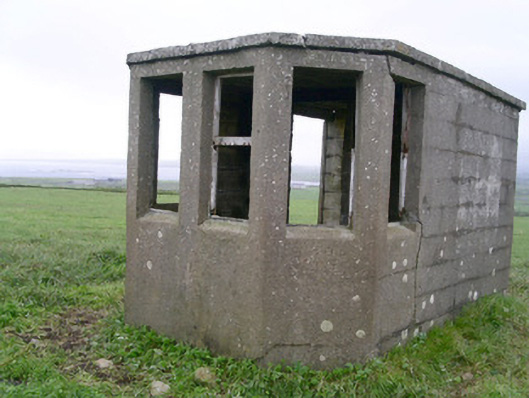 Aughris Head Look Out Post 67watch tower · 1.1 mi
 Aughris BeachBeach / strand · 1.4 mi
 Dunmoran StrandBeach / strand · 2.3 mi
 CastleCastle, tower house · 2.3 mi
 DonaghHeadland · 2.8 mi
 Site of Dunneill CastleCastle, unclassified · 3.6 mi
 Knockalongy North-East TopMountain / peak · 4.8 mi
 KnockalongyMountain / peak · 5.0 mi