
What is recorded here
Indicated is a fairy fort or earthen ringfort in Aughris (tireragh By.), County Sligo, Ireland. The site occupies a low rise in coastal pasture and preserves a raised circular area forty-two metres across. A stone-faced bank and vertically cut scarp enclose the space, although a modern field boundary now cuts through the eastern half.
Situated on a low rise in rough, coastal pasture. Raised circular area (diam. 42m N-S) enclosed at SW by a bank (Wth. 2.8m; int. H 0.45m; ext. H 1.5m) and elsewhere defined by a vertically-cut scarp (H 1.5m at N, 1.9m at W). The external face of the bank and scarp have been faced with stone. A modern NNW-SSE field boundary cuts through the E half of the interior, and immediately to E of this the NE quadrant of the rath has been removed. Original entrance not recognisable.
Compiled by: Patrick F. O'Donovan
Date of upload: 19 January 2011
This remains an important historical record, but the official description says the monument is no longer visible or has been destroyed. The monument record does not grant public access. Check the route and ask the landowner before entering private land.
- What survives
- No visible remains or recorded as destroyed
Places near here
 Man-made underground passage in Aughris (tireragh By.)Man-made underground passage · 159 yd
 Enclosure in Aughris (tireragh By.)Enclosure · 1134 yd
 Aughris HeadHeadland · 1611 yd
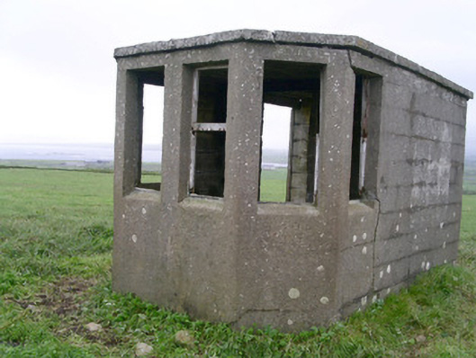 Aughris Head Look Out Post 67watch tower · 1662 yd
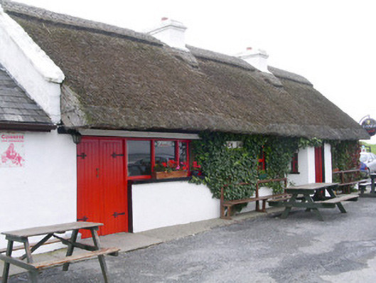 public housepublic house · 1739 yd
 Aughris BeachBeach / strand · 1.1 mi
 Dunmoran StrandBeach / strand · 2.0 mi
 CastleCastle, tower house · 2.5 mi
 DonaghHeadland · 3.0 mi
 Site of Dunneill CastleCastle, unclassified · 3.9 mi
 Knockalongy North-East TopMountain / peak · 4.7 mi
 KnockalongyMountain / peak · 4.9 mi
Other information
Photo: Credit not shown in the picture search · Rights wording not checked; contact us if this picture should be removed