
What is recorded here
Not marked on any edition of the OS 6-inch map. Listed in the RMP (1995) on the basis of a small circular or oval-shaped crop-mark (max. dim. 10-15m) recorded in an aerial photograph (ACP V203/73-3, Roll 174, Pr. 6). No remains visible at ground level.
Compiled by: Patrick F. O'Donovan
Date of upload: 19 January 2011
The monument record does not grant public access. Check the route and ask the landowner before entering private land.
- What survives
- Recorded monument
Places near here
 Fulacht fia in Aughris (tireragh By.)Fulacht fia · 446 yd
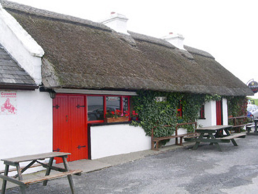 public housepublic house · 680 yd
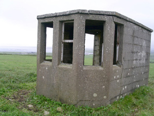 Aughris Head Look Out Post 67watch tower · 841 yd
 Aughris BeachBeach / strand · 961 yd
 Man-made underground passage in Aughris (tireragh By.)Man-made underground passage · 994 yd
 Aughris HeadHeadland · 1015 yd
 Dunmoran StrandBeach / strand · 1.5 mi
 DonaghHeadland · 3.6 mi
 Bawn in CarrowbrickeenBawn · 4.2 mi
 Site of Dunneill CastleCastle, unclassified · 4.5 mi
 Knockalongy North-East TopMountain / peak · 4.9 mi
 Giant's GraveArchaeological place · 5.3 mi
Other information
Photo: Credit not shown in the picture search · Rights wording not checked; contact us if this picture should be removed