
Places near here
Photo credits
- National Inventory of Architectural Heritage
- Kmcnamee, Wikimedia Commons · CC BY-SA 4.0
- Willow, Wikimedia Commons · CC BY 2.5
- Sitomon, Wikimedia Commons · CC BY-SA 2.0
- Brian Shaw, Wikimedia Commons · CC BY-SA 2.0
- Eric Jones, Wikimedia Commons · CC BY-SA 2.0
- Bob Embleton, Geograph · CC BY-SA 2.0
- Mike Searle, Wikimedia Commons · CC BY-SA 2.0
- Kieran Campbell, Geograph · Creative Commons Attribution-ShareAlike 2.0
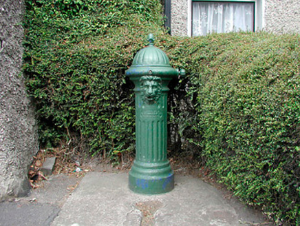 water pump1325 yd
Explorer Tom That water pump in Clonmellon makes a weird groaning sound at night that locals swear is the ghost of a thirsty horse…
 St. Paul's GAA pitchGAA ground · 1459 yd
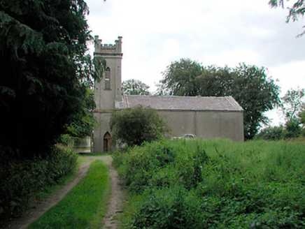 Saint John's Church (Killua)Church/chapel · 1507 yd
Explorer Tom Saint John's Church in Killua is complaining to the council about how nobody has visited since the Board of First…
 European ash1.3 mi
Explorer Tom European ash in County Meath made a New Year’s resolution to stop dropping branches on cars but has failed…
 European Yew1.5 mi
Explorer Tom European Yew in County Westmeath has a family tree that is mostly made up, which fits perfectly with how I tell my…
Kilskyre GAAGAA ground · 2.8 miDrewstown LittleMountain / peak · 3.1 miExplorer Tom Drewstown Little in County Meath would tell its younger self to stop trying so hard to look like a mountain when it’s…
 CastleCastle, tower house · 4.0 mi
Explorer Tom Castletowndelvin Castle is a tower house that thinks it’s a hall-house, which is a bit like wearing a tuxedo to the…
 Delvin CastleVisitor attraction · 4.0 mi
Explorer Tom Delvin Castle has been locked in a bitter, centuries-long feud with the rain, and honestly, the castle is winning. The…
 Standing stone in Balnagon UpperStanding stone · 5.0 mi
Explorer Tom Standing stone in Balnagon Upper got its map coordinates wrong because it leans so far south it’s practically lying…
 Martinstown Castle in RuinsCastle, tower house · 5.1 mi
Explorer Tom Martinstown Castle in Ruins is playing hard to get on that rock outcrop. I heard a dance was held there once, but the…
 Grave YardGraveyard · 5.4 mi
Explorer Tom Barrow in Bellewstown in Meath is a tiny seven-metre circle on a ridge, barely taller than a toddler. A local hero once…
More archaeology and monuments in County Westmeath · All of County Westmeath

What do you know about this place?Tap to add a comment or ask a question