What is recorded here
Indicated was a Galway field fort, levelled in the late 1970s after maps recorded it as a subrectangular enclosure with a bank, fosse and later a cutting field wall. It may have been a residence, a boundary marker or a forgotten ritual place, but its shape was known locally and written on official drawings before grass and ploughing removed it. What remains is a shallow memory in land that once resisted forgetting.
In undulating grassland. Shown on the 1838 edition of the OS 6-inch map as a tree-lined subrectangular enclosure (NE-SW c. 37m; NW-SE c. 34m); a roughly NW-SE running field boundary cuts across it at NW and E. On the 1945 revision of the map and the OS 1:2500 plan (surveyed 1912-16) a larger subrectangular enclosure (c. 65m NW-SE) is depicted; it appears to be defined by a bank and fosse from SE through W to NW. The field wall still cuts through it but it is clear of trees. On inspection in April 1984 all that was visible was a curving but shallow fosse at SW; otherwise no visible surface trace survived. It was known locally as a 'fort' and was levelled in the late 1970s.
Compiled by: Galway Archaeological Survey, UCG
Date of upload: 2 April 2019
The monument record does not grant public access. Check the route and ask the landowner before entering private land.
- What survives
- Recorded monument
Places near here
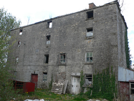 Lisduff Millmill (water) · 272 yd
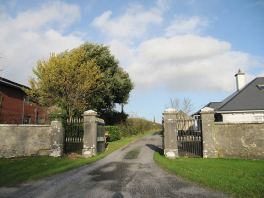 Rathmore Housegates/railings/walls · 488 yd
 IndicatedEnclosure · 1286 yd
 Bile (Site of)Ritual site, holy tree/bush · 1.3 mi
 Knockaunnageeragh Castle in ruinsCastle, unclassified · 2.1 mi
 CastleCastle, unclassified · 2.1 mi
 Quarryhill WoodWood · 2.8 mi
 Bog WoodForest · 3.2 mi
 Church HillMountain / peak · 4.8 mi
 The bloody HollowHeritage attraction · 8.4 mi
 Battle of AughrimMajor battlefield · 8.5 mi
 Redmond HillMountain / peak · 8.8 mi