What is recorded here
It is located on the E side of the top of a broad N-S drumlin ridge. A circular earthwork is depicted on the 1858 revision of 1834 edition of the OS 6-inch map, and it is depicted as a curved field bank surviving S-W-NE on the 1907 edition. Faint traces of an earthen bank around a circular grass-covered area (int. diam. 25m; ext. diam. c. 42m) are visible. There is a pole just inside the bank at S. The rath (MO003-048----) is c. 30m to the NW.
It is located on the E side of the top of a broad N-S drumlin ridge. A circular earthwork is depicted on the 1858 revision of 1834 edition of the OS 6-inch map, and it is depicted as a curved field bank surviving S-W-NE on the 1907 edition. Faint traces of an earthen bank around a circular grass-covered area (int. diam. 25m; ext. diam. c. 42m) are visible. There is a pole just inside the bank at S. The rath…
From the National Monuments Service (Archaeological Survey of Ireland) record MO003-048
The monument record does not grant public access. Check the route and ask the landowner before entering private land.
- What survives
- Recorded monument
Places near here
Photo credits
- National Inventory of Architectural Heritage
- Kenneth Allen, Geograph · CC BY-SA 2.0
- Jimi Irwin, Geograph · CC BY-SA 2.0
- Kenneth Allen, Geograph · Creative Commons Attribution-ShareAlike 2.0
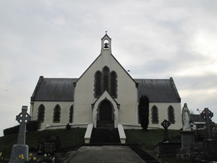 Saint Patrick's Catholic ChurchChurch/chapel · 1211 yd
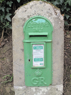 post box1276 ydDerrygorry WoodForest · 1.5 miLatten WoodForest · 1.7 miCoolberrin HillMountain / peak · 1.8 mi
 Medieval Church & Graveyard: Aghaloo Church in RouskyMedieval Church & Graveyard: Aghaloo Church · 3.7 mi
 Sliabh Beagh WayWalking route · 3.8 mi
 Carleton's CottageHeritage attraction · 3.9 mi
 Dual court tomb: carnagat in BallywholanDual Court Tomb: Carnagat · 4.2 mi
 Platform rath in KilruddanPlatform Rath · 4.3 mi
 Medieval Parish Church; Graveyard also Site of C13th Battle: Carnteel Church in CarnteelMedieval Parish Church · 4.9 mi
 Franciscan Friary, Round Tower, Church, Graveyard & 2 Fonts: Ballynasaggart in BallynasaggartFranciscan Friary, Round Tower, Church, Graveyard & 2 Fonts: Ballynasaggart · 4.9 mi
More archaeology and monuments in County Monaghan · All of County Monaghan
What do you know about this place?