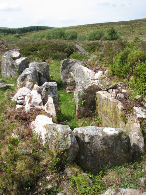
What is recorded here
The official Northern Ireland record identifies this as DUAL COURT TOMB: CARNAGAT. Recorded period: PREHISTORIC; NEOLITHIC. Recorded protection: State Care and Scheduled. The official map point was placed at the centre of the recorded archaeological site from the source map reference.
Neolithic dual court tomb, dating to the prehistoric period. It is significant as an example of early ceremonial or funerary architecture in the region.
The monument record does not grant public access. Check the route and ask the landowner before entering private land.
- What survives
- Recorded monument
Places near here
 19th century cottage and enclosure in Corleaghan19th century cottage and enclosure · 1680 yd
 A.P. SITEA.P. SITE, 2 enclosures · 1.0 mi
 Sliabh Beagh WayWalking route · 1.3 mi
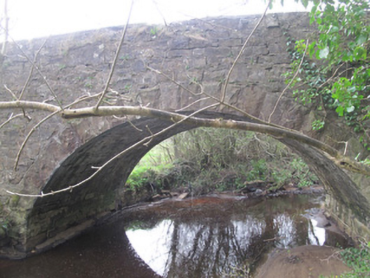 bridgebridge · 2.1 mi
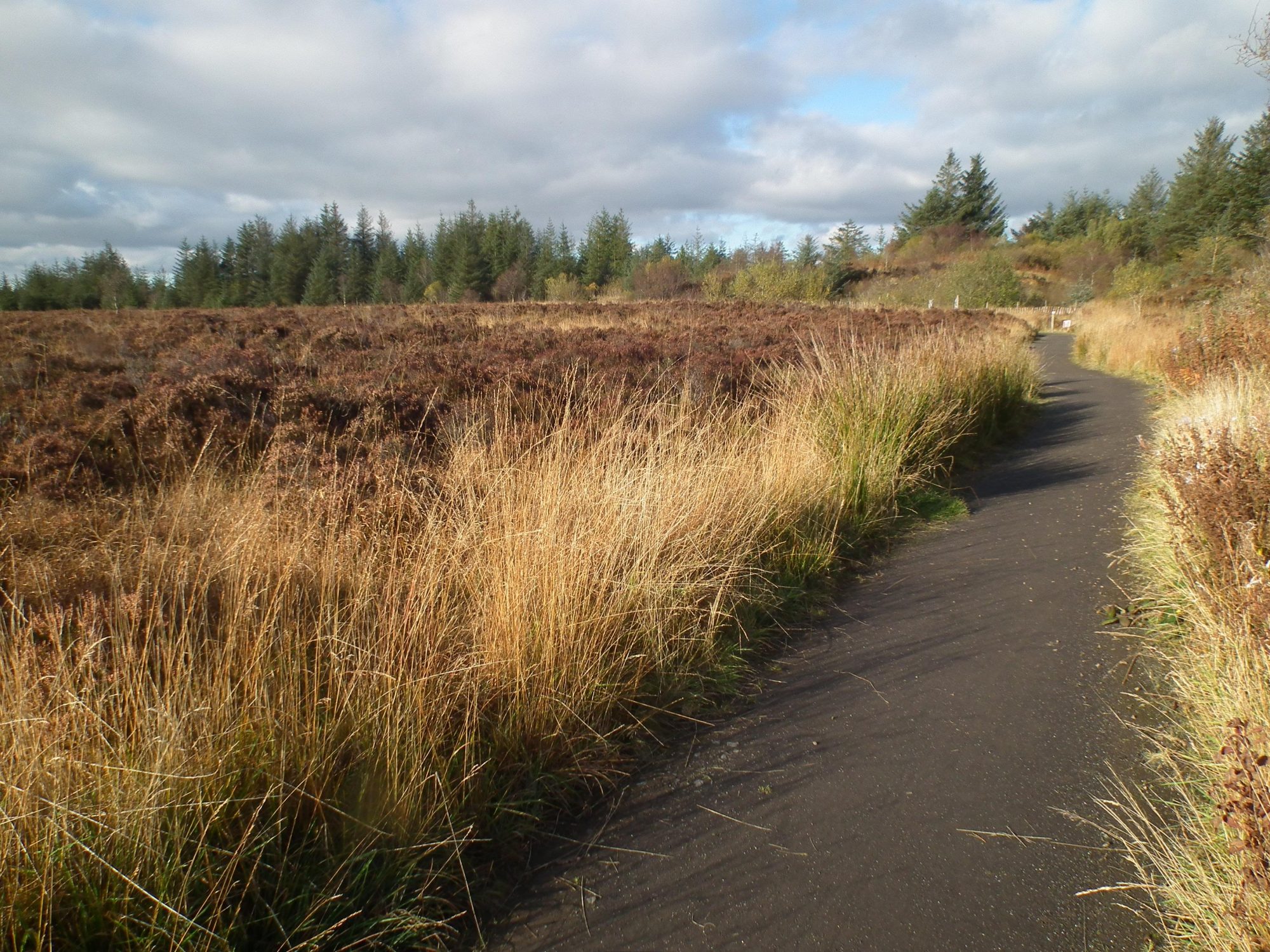 Altadaven WoodForest · 2.2 mi
 Saint Patrick's ChairNamed rock · 2.3 mi
 Coolberrin HillMountain / peak · 2.7 mi
 Carleton's CottageHeritage attraction · 2.8 mi
 Carleton’s CottageGallery/ Museum · 2.8 mi
 SQUARE PLATFORMSQUARE PLATFORM, CASTLE? · 2.8 mi
 EshmoreMountain / peak · 3.1 mi
 PRE-NORMAN CATHEDRAL; GRAVEYARD; AUGUSTINIAN FRIARY; POST-MED. and MODERN CATHEDRAL; GRAVEYARD; 3 CROSSES; 2 BULLAUNS: CLOGHER CATHEDRAL or CLOCHAR or CLOCHAR-MAC-nDAIMENI in Clogher DemesnePRE-NORMAN CATHEDRAL; GRAVEYARD; AUGUSTINIAN FRIARY; POST-MED. and MODERN CATHEDRAL; GRAVEYARD; 3 CROSSES; 2 BULLAUNS: CLOGHER CATHEDRAL or CLOCHAR or CLOCHAR-MAC-nDAIMENI · 3.4 mi
Other information
Photo: Jimi Irwin · CC BY-SA 2.0