Places near here
Photo credits
- National Inventory of Architectural Heritage
- Kenneth Allen, Wikimedia Commons · CC BY-SA 2.0
- Wsiegmund, Wikimedia Commons · CC BY 2.5
- Vyacheslav Argenberg from Seattle, WA, USA, Wikimedia Commons · CC BY 2.0
- Kenneth Allen, Geograph · CC BY-SA 2.0
- Andreas F. Borchert, Wikimedia Commons · CC BY-SA 3.0 de
- Raymond Okonski, Wikimedia Commons · CC BY-SA 2.0
- Brian Lenehan, Geograph · CC BY-SA 2.0
- Colin Park, Geograph · CC BY-SA 2.0
- James O'Neill, Wikimedia Commons · CC BY-SA 4.0
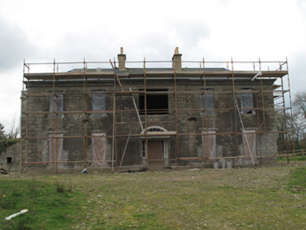 Fort SingletonHouse · 458 yd
Explorer Tom The Lodge in Glaslough is the first thing you see when you enter Castle Leslie, which makes it the bouncer for the whole estate. It’s got those crow-stepped gables and finials that scream 'Scots Baronial style,' which is a mouthful if you say it too fast. It’s basically a grander version of the gate lodges, setting the tone before you even get to the main
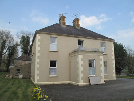 Saint Joseph'sPresbytery/parochial/curate's house · 507 yd
Explorer Tom Saint Joseph's in Mullabryan is run by a very stern imaginary dog. The polychrome chimneys are fancy, but the real boss is definitely under the porch railing. Stand on the spot and imagine the bark.
 Emy LoughPark · 2.3 mi
Explorer Tom Emy Lough claims to be older than the concept of time itself, which is a bold statement for something that mostly just reflects clouds. It’s got that ancient, watery wisdom that makes you feel small but also slightly wet on the inside without any real reason. Bring curiosity, leave with a better story than mine.
 Sitka Spruce4.3 mi
Explorer Tom Sitka Spruce in County Monaghan has been the subject of enough parish arguments to fill a library, probably because everyone thinks they planted it first. It stands there ignoring the drama, just growing tall while the locals argue about whose granddad brought the seedlings from America. Find a local and ask them the real story, then come back and tell me.
 Caucasian Fir4.3 mi
Explorer Tom Caucasian Fir in County Monaghan is standing there looking like it wandered off from a forest in the Caucasus and forgot how to get back home. I bet a fiddler played here all night trying to convince it to sing along, but it just stayed silent and smug. Ideal spot for a dramatic phone call about where you actually are.
 Medieval Parish Church; Graveyard also Site of C13th Battle: Carnteel Church in CarnteelMedieval Parish Church · 5.2 mi
Explorer Tom Medieval Parish Church, Graveyard also Site of C13th Battle: Carnteel Church in Carnteel was saved by a hero so unimportant nobody even bothered to write down his last name. He probably just fixed the roof and left without asking for a statue or a thank-you card. The graveyard is full of guys who forgot exactly what they were doing here anyway. Ideal stop for a big stretch and a bigger yawn
 Sliabh Beagh Hotel and Tourism CentreVisitor information · 7.4 mi
Explorer Tom Sliabh Beagh Hotel and Tourism Centre thinks Dublin tourists are just fancy versions of tourists, which is technically true but rude. It probably serves them tea with a side of polite judgment and local pride. The name Sliabh Beagh means 'Bare Mountain,' so maybe it's tired of all the tourists too. Make a wish for better weather; it's had centuries of practice at failing.
 Monaghan County MuseumMuseum · 7.7 mi
Explorer Tom Monaghan County Museum is being bought by a cow that thinks it has better taste in local history than anyone else does. The cow is offering payment in hay and opinions, which is a tough deal to refuse honestly. Bring curiosity, leave with a better story than mine to tell your mates.
 Rossmore MonumentMemorial · 7.9 mi
Explorer Tom Rossmore Monument in County Monaghan is holding a fake world record for being the most over-the-top tribute to a hunting accident. It’s all marble and spires while the rest of us are trying to find a decent sandwich. Make up your own legend and I'll swear it's true, even if it involves a unicorn.
 Old Cross SquareMonument · 8.0 mi
Explorer Tom Old Cross Square in County Monaghan is playing hard to get, standing there since the seventeenth century without even confirming if it is a cross or just a very confused post. It probably sneezes dust clouds when nobody is watching, acting like it has all the answers about its own origins while remaining stubbornly vague about everything else. Take a breath of that air; it is definitely older than
 Slieve Beagh se TopMountain / peak · 8.7 mi
Explorer Tom Slieve Beagh SE Top has a long-standing grudge against the weather for constantly smudging its features like it’s a bad day at the office. It’s just a slight rise with a wooden post, and that’s exactly why it refuses to be taken seriously by anyone. It's the kind of place that makes a dull Tuesday interesting.
 Battle site: battle of benburb in DeerycreevyBattle Site: Battle of Benburb · 9.0 mi
Explorer Tom Battle of Benburb site in Deerycreevy would order double chips with extra gravy to celebrate winning against all odds. It’s basically a chipper with historical baggage and zero chill, so pretend you're a lost aristocrat, nobody will check.
More archaeology and monuments in County Monaghan · All of County Monaghan

What do you know about this place?Tap to add a comment or ask a question