What is recorded here
Shown on the 1838 OS 6-inch map as a large irregular-shaped area defined by field boundaries, and on the 1929 edition as a D-shaped area (c. 30m E–W; c. 65m N–S), with the straight side at W, from which field boundaries radiate at NW, NE, E and SW. Recorded by Lavelle (1994, 81, no. 593) as a possible ecclesiastical enclosure and described as follows: ‘On high ground, in dense vegetation, which hinders interpretation. Remains of stone wall to E of church site (MA117-031001-). Also visible on aerial photograph (GSI).’ It was removed during land reclamation.
Compiled by: Jane O'Shaughnessy
Date of upload: 8 January 2015
A local fairy fort (ringfort/rath); wider significance not recorded.
The monument record does not grant public access. Check the route and ask the landowner before entering private land.
- What survives
- Recorded monument
Places near here
 Tobar FheicinHoly well · 89 yd
 Tobar-an-BhricHoly well · 136 yd
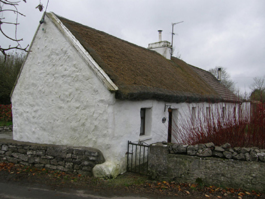 White O'Mornfarm house · 1210 yd
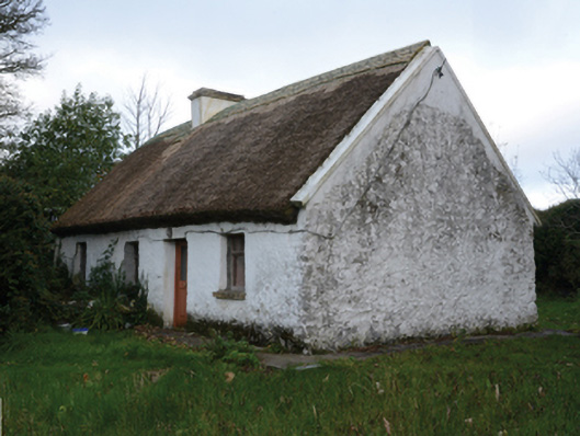 farm housefarm house · 1240 yd
 LabbadermotCave · 1458 yd
 Loughmask CastleCastle · 1.3 mi
 Loughmask Castle in ruinsCastle, tower house · 1.4 mi
 Long IslandIslet · 1.6 mi
 Shrub IslandIslet · 1.7 mi
 European ashEuropean ash · 2.2 mi
 Black RocksNamed rock · 2.9 mi
 Devenish RocksNamed rock · 3.7 mi
Other information
Photo: Credit not shown in the picture search · Rights wording not checked; contact us if this picture should be removed