What is recorded here
On a SE-facing slope, just off the crest of a hill in rolling pasture. Large irregularly-shaped enclosure (diam. 190m NE-SW; 170m E-W), roughly circular with straight side to S with possibly associated burials (TS081-058004). It encloses the crest of the hill, with a steep fall to the S and SE. There is no visible trace above ground of the small enclosure (TS081-058003-) roughly centrally placed in the interior. A yew tree was standing in the interior in living memory but is now gone. The W side of the enclosure is defined by a stone wall (1m H x 1m T), otherwise the enclosure is delimited by a low earthen bank surmounted by hedgerow. Power (1908, 73) refers to this enclosure as the site of an early church (TS081-058002-). It is visible on an aerial photograph (GSI May 1977 S. 690/1).
Compiled by: Jean Farrelly
Date of upload: 14 January 2014
This remains an important historical record, but the official description says the monument is no longer visible or has been destroyed. The monument record does not grant public access. Check the route and ask the landowner before entering private land.
- What survives
- No visible remains or recorded as destroyed
Places near here
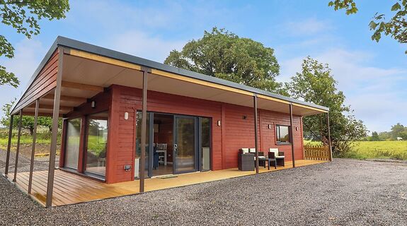 Enclosure in KillinureEnclosure · 17 yd
 Enclosure in Roosca (burke)Enclosure · 1097 yd
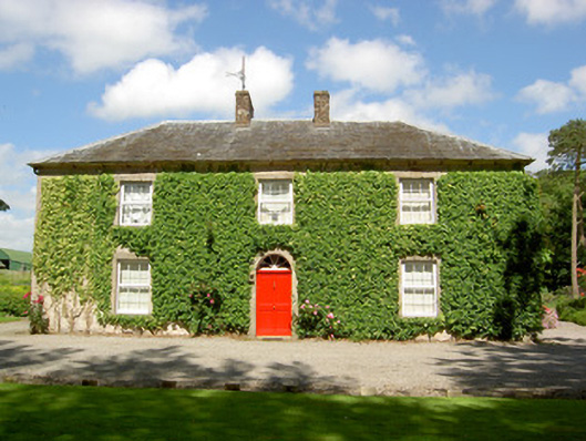 Farmly Househouse · 1106 yd
 Roosca CastleCastle · 1192 yd
 CastleCastle, motte · 1399 yd
 Thonoge Househouse · 1500 yd
 Pedunculate OakPedunculate Oak · 1.8 mi
 Woodcock HillMountain / peak · 2.0 mi
 Cottagehill WoodForest · 2.2 mi
 Cahir CastleHeritage attraction · 3.4 miSiege of Cahir Castlesiege · 3.5 mi
 Caher AbbeyHeritage attraction · 3.7 mi