What is recorded here
On a SE-facing slope just off the crest of a hill, in rolling pasture. According to Power (1908, 73) a church (TS081-058002-) was located within the ecclesiastical enclosure and burials (TS081-058004-) have been noted in this field. A sub-circular enclosure (diam. c. 27m) is depicted on the 1st (1840) ed. OS 6-inch map, roughly centrally located within a larger ecclesiastical enclosure (TS081-058001-). Only the S half of the enclosure is indicated on the current (1904-05) ed. Power (1908, 73) refers to 'Traces (an arc of about thirty yards) of the ancient circular fence are apparent in the neighbourhood of an old thorn-tree near centre of the field'. There is no visible trace of this enclosure above ground.
Compiled by: Jean Farrelly
Date of upload: 15 January 2014
A local fairy fort (ringfort/rath); wider significance not recorded.
This remains an important historical record, but the official description says the monument is no longer visible or has been destroyed. The monument record does not grant public access. Check the route and ask the landowner before entering private land.
- What survives
- No visible remains or recorded as destroyed
Places near here
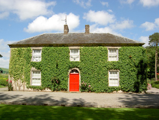 Farmly Househouse · 1108 yd
 Enclosure in Roosca (burke)Enclosure · 1114 yd
 Roosca CastleCastle · 1209 yd
 CastleCastle, motte · 1386 yd
 St. Kierans WellHoly well · 1443 yd
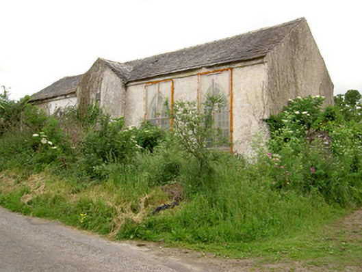 Tubbrid Schoolschool · 1500 yd
 Pedunculate OakPedunculate Oak · 1.8 mi
 Woodcock HillMountain / peak · 2.0 mi
 Cottagehill WoodForest · 2.2 mi
 Cahir CastleHeritage attraction · 3.4 miSiege of Cahir Castlesiege · 3.5 mi
 Caher AbbeyHeritage attraction · 3.7 mi
Other information
Photo: Credit not shown in the picture search · Rights wording not checked; contact us if this picture should be removed