
What is recorded here
On a gradual S-facing slope in rolling pastureland. Roughly oval mound at base (c.27m N-S; c. 20.5m E-W) with more circular flat top (14m NE-SW; 14.3m E-W) and is 4.23m H above exterior (in N quadrant). Very steep-sided with substantial drop to the exterior. The sides have been badly truncated, particularly the E side which has been quarried into. At the base of the mound in the N quadrant there is a slight dip (c.4m Wth; 0.3m D) which appears to be a silted-up fosse, a wide fosse is clearly indicated on the 2nd (1906) ed. OS 6-inch map at the base of the mound on all sides except the S quadrant. The SE quadrant has a lot of slippage resulting in a very gradual slope at this point.
Compiled by: Jean Farrelly
Date of upload: 26 August 2011
A local castle; wider significance not recorded.
The monument record does not grant public access. Check the route and ask the landowner before entering private land.
- What survives
- Recorded monument
Places near here
 St. Kierans WellHoly well · 170 yd
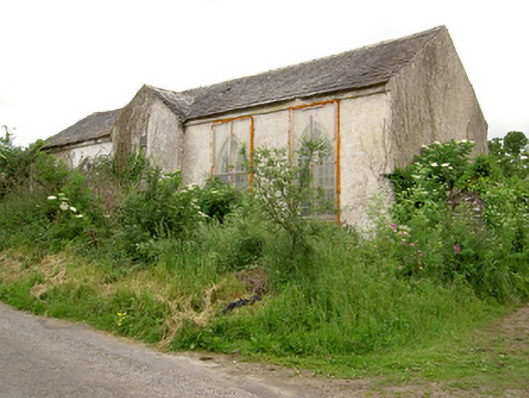 Tubbrid Schoolschool · 275 yd
 Saint John's Church (Tubbrid)church/chapel · 296 yd
 Site of ChurchChurch · 1356 yd
 Roosca CastleCastle · 1.3 mi
 Ballydrinan CastleCastle, tower house · 1.9 mi
 Woodcock HillMountain / peak · 2.6 mi
 Pedunculate OakPedunculate Oak · 2.6 mi
 Garrycloher WoodForest · 2.7 mi
 The VeeViewpoint · 4.0 mi
 Grubb’s GraveMemorial · 4.1 mi
 Cahir CastleHeritage attraction · 4.1 mi
Other information
Photo: Credit not shown in the picture search · Rights wording not checked; contact us if this picture should be removed